The Great Ocean Walk: Stage by Stage
From Apollo Bay to the Twelve Apostles, the Great Ocean Walk follows 100 km of clifftops, surf beaches and koala forest. Here is how to plan every day of it.
Quick links
Don't want to read all this?
We've planned 2,000+ hiking trips. Send your dates, fitness and group size — we'll map the route and book every night.



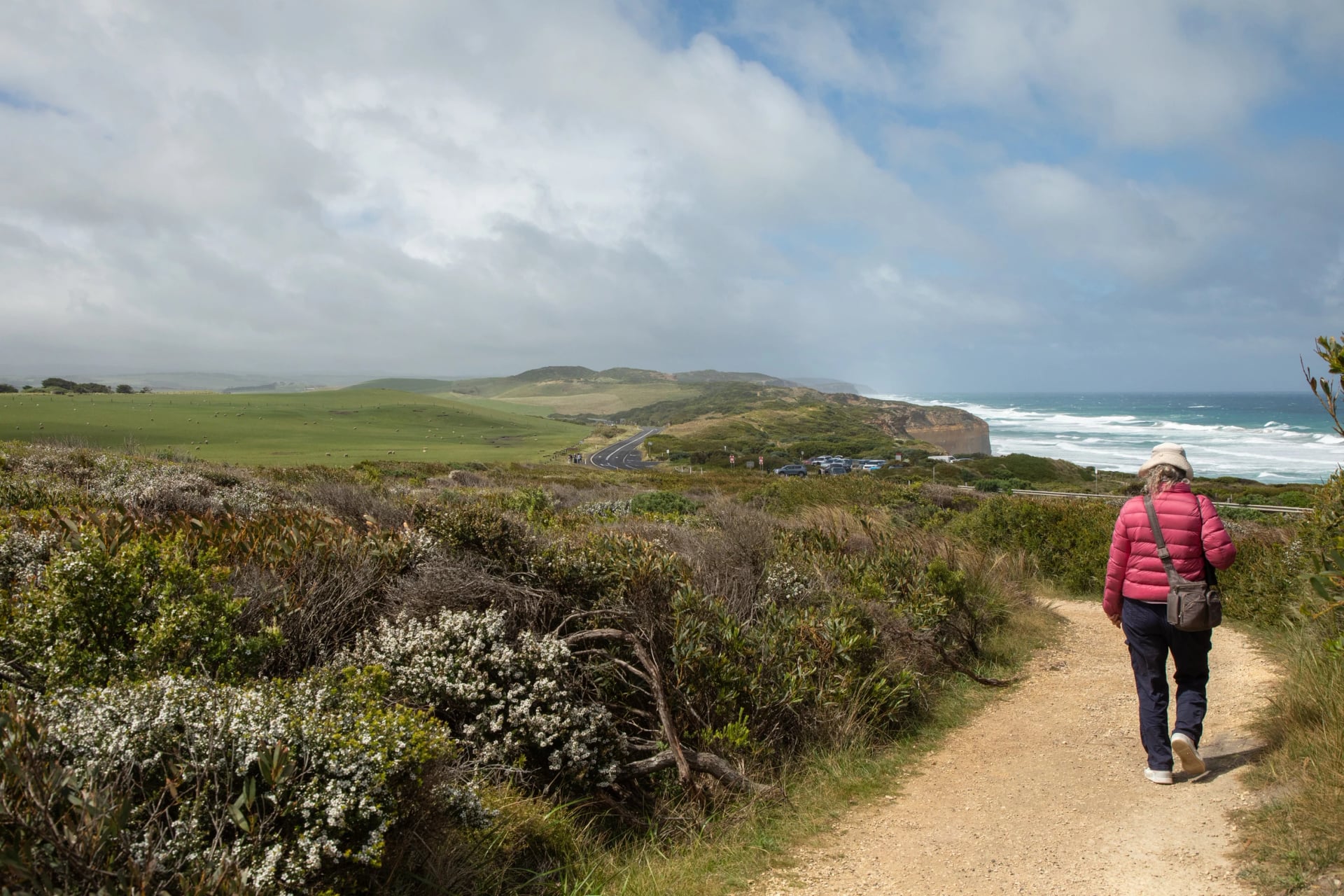
The Great Ocean Walk is a coastal track of about 100 km in Victoria, in the south-east of Australia. It runs one way, starting in the harbour town of Apollo Bay and ending at the Twelve Apostles, the limestone stacks that rise out of the Southern Ocean near Port Campbell. It is famous because it reaches the coast the Great Ocean Road leaves behind: west of Apollo Bay the road turns inland into the Otway forest, while the walk keeps to the clifftops, estuaries and lonely surf beaches, and ends on foot at the stacks most visitors only ever see from a car park.
Six facts to carry with you:
Eight official stages, about 100 km, each but the last ending at a campsite.
It only goes one way, east to west, so the Apostles are ahead of you the whole time.
The track opened in 2006, and much of it was cut by hand with mattocks and crowbars.
No older lighthouse survives on the mainland than the one at Cape Otway, lit in 1848 and halfway along your route.
Two beaches have no way round: at Johanna and Milanesia the tide sets your start time.
Camping is allowed only at seven hike-in campsites, each night reserved ahead.
This guide is for anyone planning the walk, all of it or part of it, with a tent or with a bed each night. It follows the eight stages in walking order, then covers what the park's own pages leave out: where a car can reach the track, where the nearest roof is, which tide table to read, and how to get here from Melbourne or from overseas.
How Long Is It?
The walk is about 100 km long, and most people take eight days. The exact figure depends on the document. The Great Ocean Road Coast and Parks Authority, which manages the walk, calls it more than 100 kilometres. Parks Victoria's visitor guide for the Cape Otway area prints 104 km, and its older questions-and-answers sheet says about 110 km.
The authority's own stage distances add up to 97.1 km as far as Gibson Steps, and a little over 98 km to the Twelve Apostles. The line on our map below, drawn on the track walkers use, measures 97.8 km. So plan on a hundred, and think in hours rather than kilometres: the park's walking times assume about 3 km an hour carrying a pack.
Great Ocean Walk Map
Three stages end at a campsite no car can reach, so plan your days around the places where a driver can meet you. Our map shows the eight stages in different colours, the seven campsites, the beaches to cross near low tide in orange and the villages with beds. Save it to your phone before you leave Apollo Bay, because the signal comes and goes after that.
See the whole walk, stage by stage:
Great Ocean Walk Stages
The park divides the walk into eight stages, each ending at a hike-in campsite, except the last, which finishes beside the Apostles. The distance, walking time and grade under each heading are the authority's figures, and we note where a road reaches the track, because that is where shorter plans begin and end. Look at the authority's Great Ocean Walk page in the week you leave: rock falls, and planned burns in autumn and spring, close stretches from time to time.
Stage 1: Apollo Bay to Elliot Ridge
9.8 km · 3 h 30 min · Medium · road at Marengo and Shelly Beach
You set off from the Visitor Information Centre on the Apollo Bay foreshore, with the town's cafés behind you and a hundred kilometres of coast ahead. The first hour follows the shore to Marengo, 3 km away, where two small islands sit just off the rocks and the larger island is a seal haul-out; Parks Victoria asks you not to cross the reef towards them.
Beyond Marengo you pick your way over rock shelves to Shelly Beach, take your boots off for the Elliot River, which has no bridge, and climb into tall forest. If you camp, your first night is on Elliot Ridge among the trees, with the sea already out of sight.
Stage 2: Elliot Ridge to Blanket Bay
12 km · 4 h 30 min · Easy · road at Blanket Bay
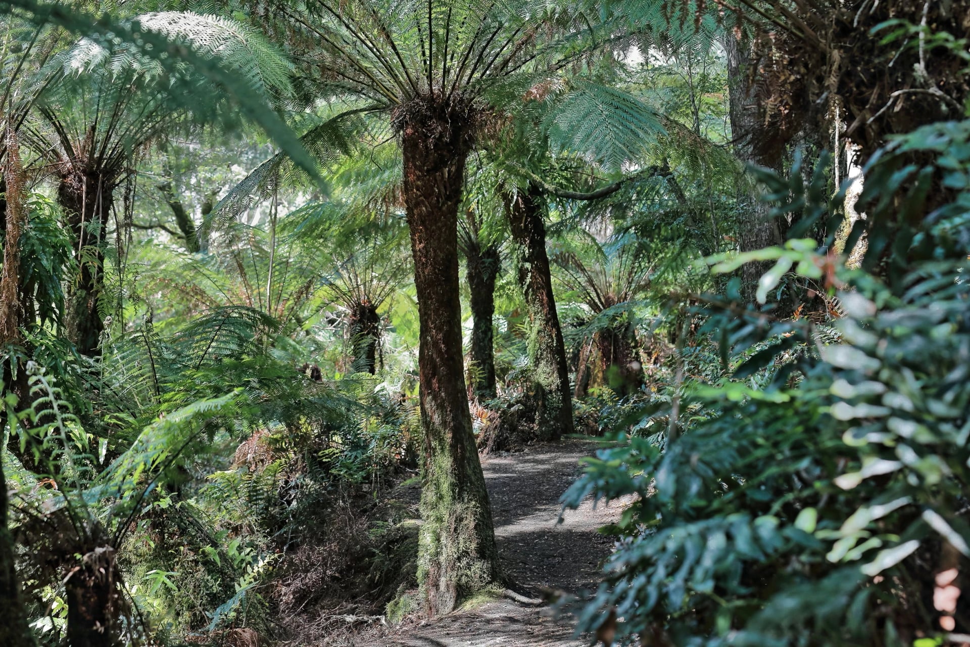
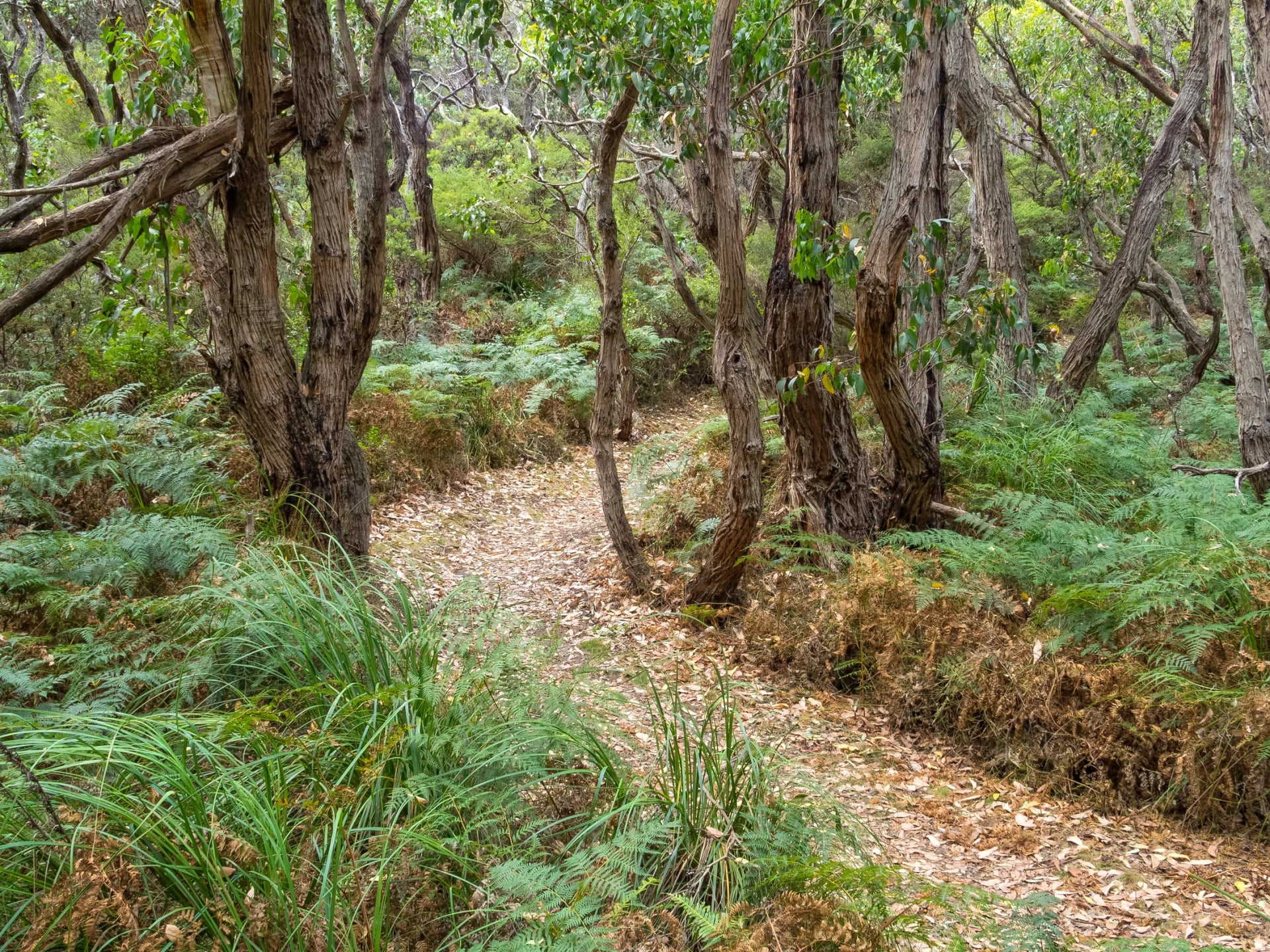
Today is the easiest stage of the eight, and the greenest. You walk mostly under the forest canopy, where Otway rain keeps the gullies full of ferns, and see little of the sea until you drop down to Blanket Bay, a quiet bay with a car-based campground behind the beach.
This is koala country: koalas sleep in the manna gums from here to Cape Otway, so walk quietly and look up. The wet forest also has leeches, harmless but messy, and in warm months tiger, brown and copperhead snakes; step back and let them move off.
At Blanket Bay the walkers' campsite is a short way from the car-based one, with toilets about 50 m off. Treat the water from its tap: like every tank on the walk, it holds untreated rainwater.
Stage 3: Blanket Bay to Cape Otway
10.5 km · 3 h 45 min · Easy to medium · road at the Lightstation
You follow the clifftops to the Point Lewis lookout, then come down to Parker Inlet, a river mouth you wade with your shoes in your hand, so plan to arrive near low water. A climb over Parker Hill and a path past Crayfish Bay bring the white tower of the Cape Otway lighthouse into view.
The lighthouse precinct holds the only café right on the track, the Lightkeeper's Cafe, open from 10 am to 3.30 pm to visitors with an entry ticket. Two things to know before you plan lunch there:
The tower is closed until about January 2027 for conservation works, wrapped in scaffolding, while the rest of the precinct stays open at a reduced entry price.
The Cape Otway Lightstation closes on Wednesdays and Thursdays.
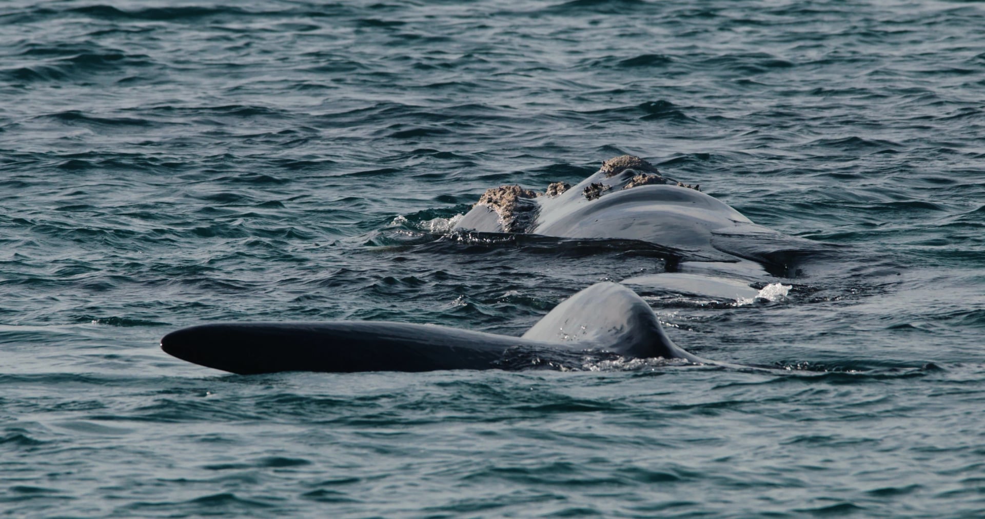
From May to October whales pass Cape Otway, and southern right whales come close in to shore in winter, so keep an eye on the sea from the cliffs. The walkers' campsite is a short way back from the lighthouse.
Stage 4: Cape Otway to Aire River
9.6 km · 3 h 15 min · Medium · road at the Aire River camping area
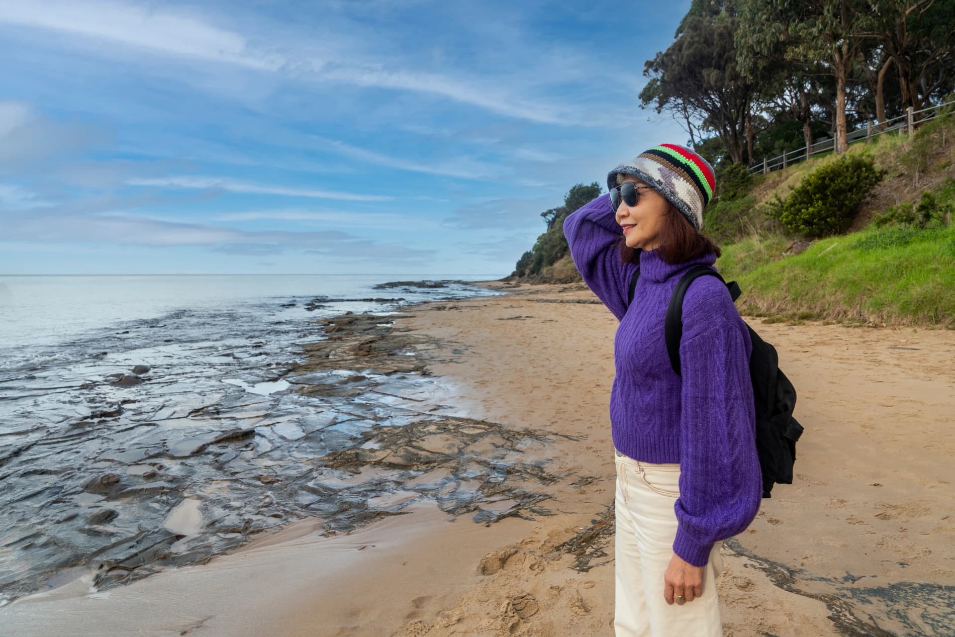
Leaving the lighthouse, you pass its old cemetery and follow the dunes and coastal scrub behind Station Beach. If the tide is out, go down onto the sand for Rainbow Falls at low tide, a spring that seeps over a cliff streaked orange and green onto the rock shelf; if it is in, stay in the dunes. The stage ends at the Aire River, where a footbridge spares you a ford, and the walkers' campsite stands on the west bank beside a car-based campground.
Stage 5: Aire River to Johanna Beach
13.8 km · 5 h 15 min · Medium · road at Castle Cove and Johanna Beach
You climb out of the Aire valley to the lookout above Castle Cove, one of the few spots west of Apollo Bay where the Great Ocean Road meets the coast. From there the track crosses open clifftop heath with little shelter from the wind, the stretch the authority calls more exposed than those before it.
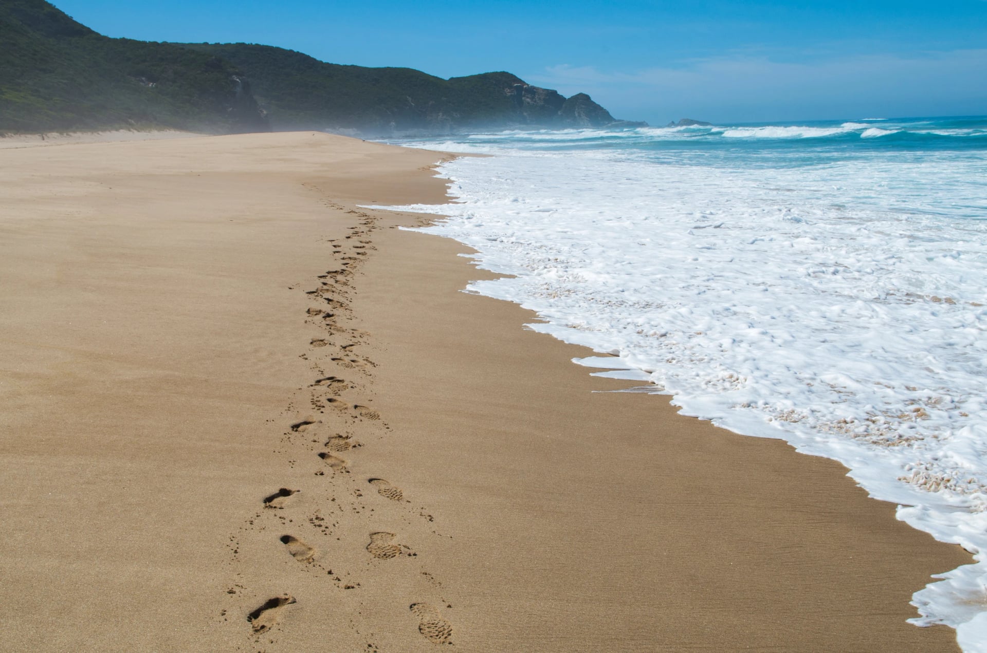
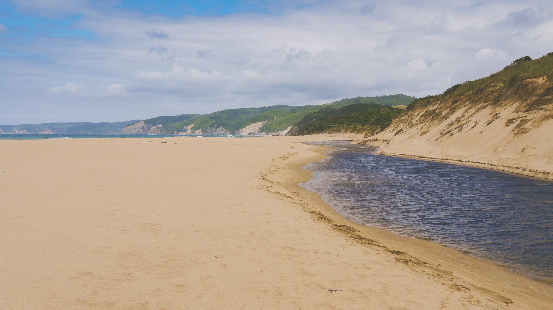
Then the coast opens into a two-kilometre run of sand at Johanna, and the Johanna River waits to be forded near its mouth. There are no lifeguards and strong rips, so walk the beach rather than swim off it.
Stage 6: Johanna Beach to Ryans Den
13.8 km · 5 h · Medium to hard · road at Milanesia Gate (four-wheel drive)
Here the walk turns wild, and the climbing begins. You leave the dunes on the gravel Milanesia Track, then drop through a gully to Milanesia Beach: 300 metres of sand, no way round, and a creek to cross. Above the beach the long timber stairs begin, flight after flight, up to the campsite at Ryans Den beside a clifftop lookout.
Stage 7: Ryans Den to Devils Kitchen
12.8 km · 5 h 15 min · Medium to hard · road at The Gables
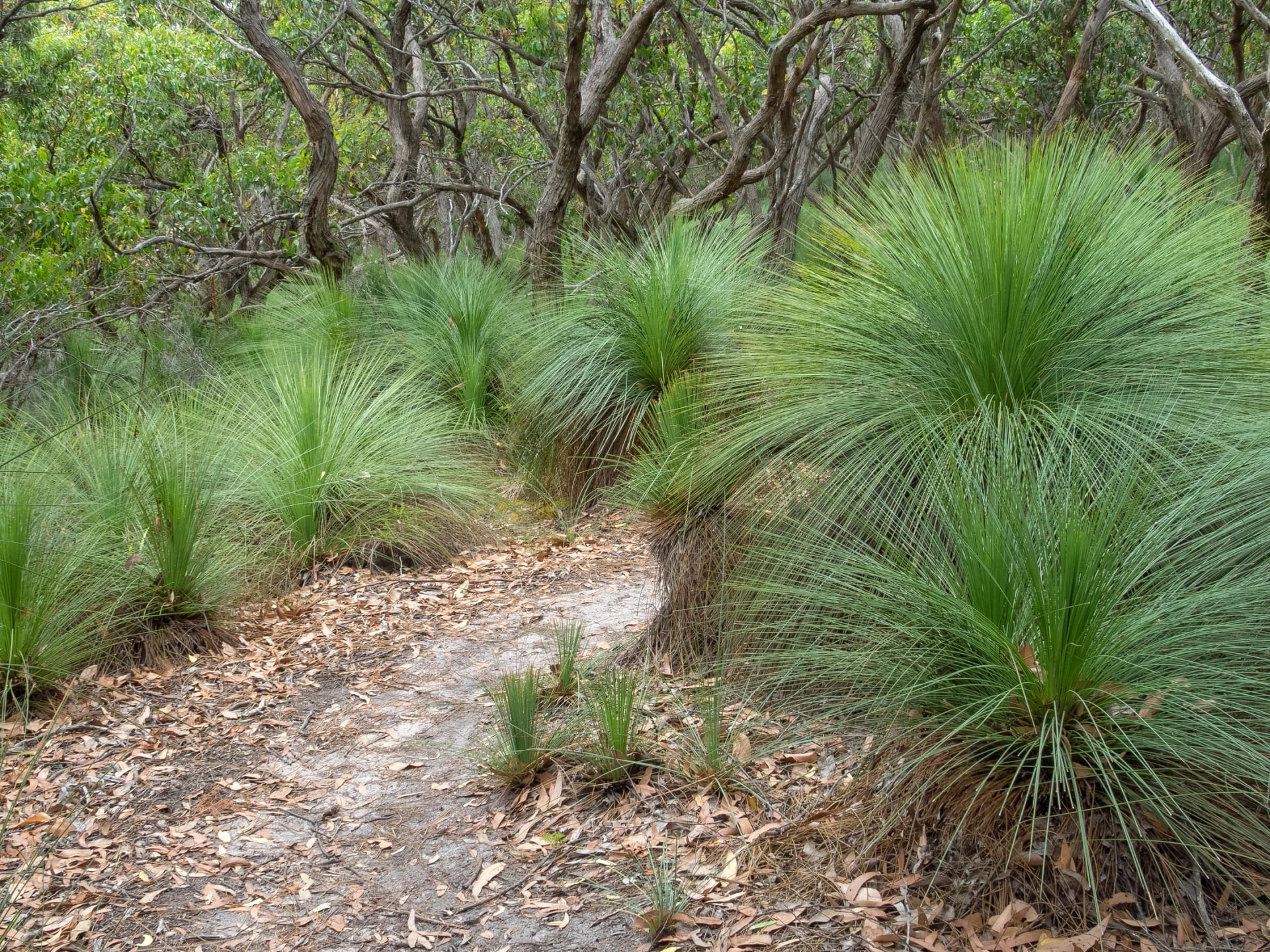
This is the slowest stage for its length, and the authority says it suits prepared walkers with a clear plan. You climb over Moonlight Head and come out of the forest at The Gables lookout, where a gravel road ends.
Below the cliffs, 350-plus steps lead down to Wreck Beach, where the rusting anchors of two 19th-century wrecks are the reason most walkers make the detour. Wreck Beach is low tide only, because the cliffs lock it in; otherwise the inland track takes you on to Devils Kitchen, a campsite with one toilet and a sea view.
Stage 8: Devils Kitchen to the Twelve Apostles
about 16 km · 4 h 45 min to Gibson Steps · Easy to medium · road at Princetown and Gibson Steps
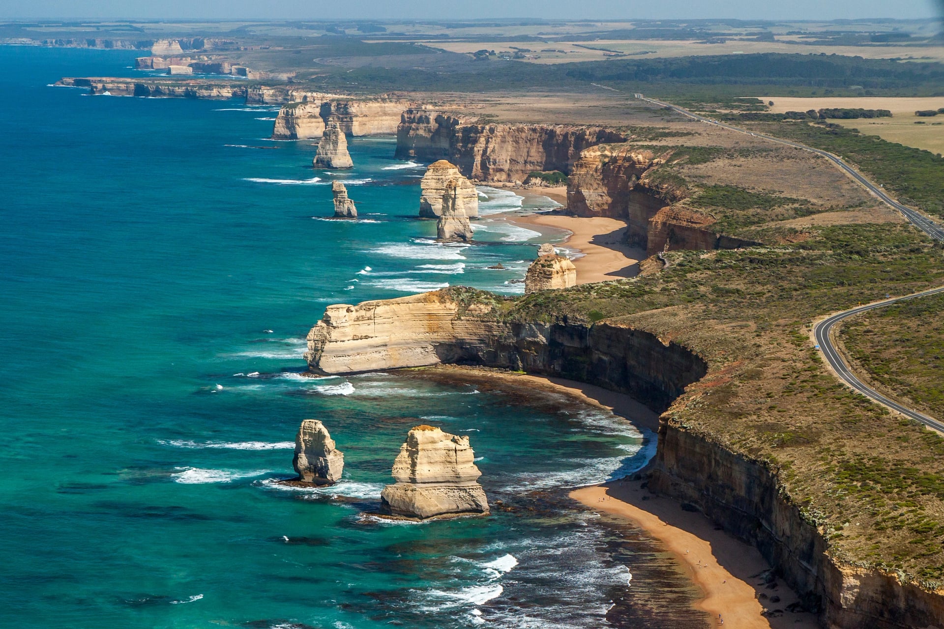
Your last stage is the gentlest since Cape Otway. Heath and dunes take you down to the hamlet of Princetown, where the Gellibrand reaches the ocean at Point Ronald, and the track climbs back onto the limestone cliffs of Port Campbell National Park.
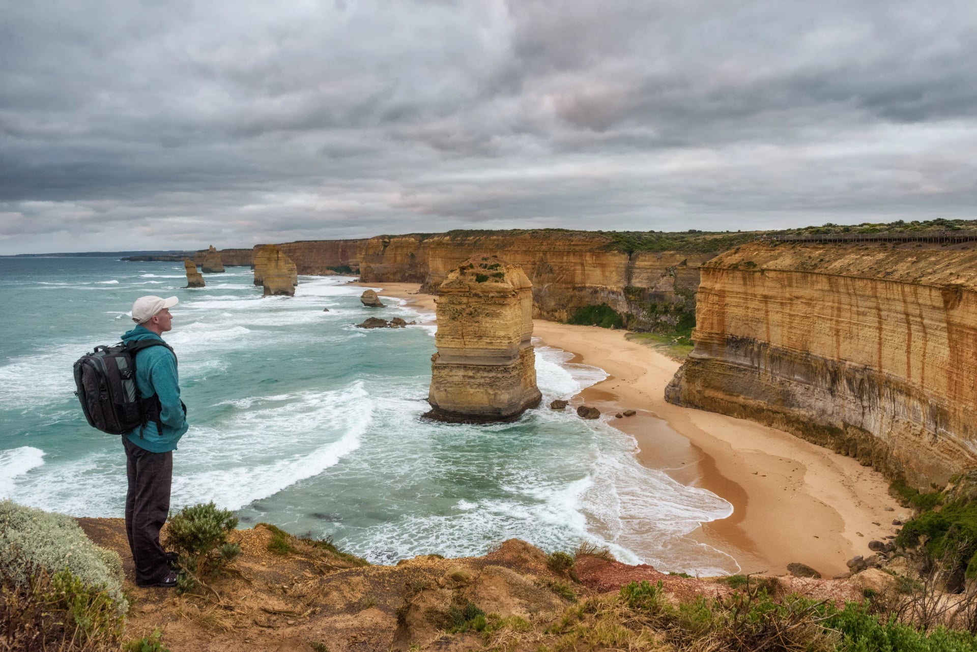
At Gibson Steps a stairway drops to the beach below two offshore stacks, worth the climb down and back if the tide is out. A path of about 1.1 km then passes under the Great Ocean Road to the viewing platforms, and the Twelve Apostles are in front of you at last.
Book your Twelve Apostles time slot before you set off. Since 16 October 2026, visits to the viewing areas and the car park work on timed bookings, run through the new Keerray Woorroong Visitor Centre. Entry is free until April 2027, when a booking and fee model begins.
Lining all of this up from the other side of the world is a project of its own. On our tours you sleep in cabins, cottages and motels a short drive from the track, and a local driver takes you to one road end each morning and fetches you from the next. We work out start times set by the tide, book the beds that sell out first and put the whole plan in a guidebook that works offline. One tour walks the full line from Apollo Bay; the other starts at the lighthouse and keeps to the wild western half. Compare the two:
Tides and River Mouths
The tide sets your start time more than the distance does. Two beaches and three river mouths on the walk have no way around them, and a third beach, Wreck Beach, is a detour worth taking only at low tide. In normal tides and calm seas, Johanna and Milanesia beaches are passable, but Parks Victoria warns that every cliff-locked beach and rock platform can become impassable in an extreme high tide or heavy swell, and conditions change quickly.
Place | What to time | If the tide is high |
Elliot River, stage 1 | the ford near the mouth | wait for the water to drop |
Parker Inlet, stage 3 | an estuary ford where ocean meets river | wait, or turn back to Blanket Bay |
Johanna Beach and River, stage 5 | a long run of sand and a river mouth | wait at the top of the beach |
Milanesia Beach, stage 6 | a short beach and a creek | wait above the beach |
Wreck Beach, stage 7 | a cliff-locked beach below the stairs | take the inland track |
The rivers are usually small creeks, but heavy rain in the Otways, a high tide and a swell together can make them dangerous to cross. Signs at the beach entries mark the decision points.
For the tide times, use the Bureau of Meteorology's tide predictions. Parks Victoria's advice is to use Apollo Bay tides east of Moonlight Head and the Port Campbell table west of it, because the tide turns about two hours apart at the two ends of the walk. On our tours we work the tides out for you: each day in your guidebook comes with a start time that puts you on the sand at the right moment.
If You Only Have a Day
Which section is best is the question people ask most about this walk. If you have a single day on the track, pick the stretch that matches what you came for.
For the lighthouse and the koalas: Blanket Bay to Cape Otway, a gentle half-day with Parker Inlet in the middle.
For the wildest coast: Milanesia Gate to The Gables, past Milanesia Beach, Ryans Den and Moonlight Head; the hardest of the three, and the start needs a four-wheel drive.
For the famous ending: Princetown to the Twelve Apostles, the end of stage 8, past Gibson Steps to the viewing platforms.
Each of these starts and ends at a road, so a shuttle can take you out and back. No car can get to Elliot Ridge, Ryans Den or Devils Kitchen, so a plan that ends there means a night in the tent.
Great Ocean Walk Itinerary
The park's plan is one stage a day, eight days, camping every night. Bed-based plans usually take seven days, sometimes eight, because the beds and the car parks sit in different places from the campsites and the days are planned around the road ends instead.
Days | How the walk splits | Suits |
8 | one official stage a day, campsite to campsite | campers who want short days |
7 | road end to road end, sleeping in four bases near the track | walkers who want a bed every night |
5 or 6 | stages joined into days of 20 km or more | fit walkers short of time |
4 | the western half only, Cape Otway to the Apostles | anyone who wants the cliffs and beaches without the forest |
Where people shorten it, they usually drop the first two stages, the forest days, and start at Cape Otway, which keeps every beach, cliff and stair of the western half. If you need one spare day, keep it for the end: the stairs after Johanna are slow for everyone.
Parks Victoria's own fastest plan covers the whole walk in five nights, with a longest day of 25.1 km. For the other long walks across the country, see our guide to multi-day hikes in Australia. If sea cliffs are what draw you, our Tasmania hikes guide covers the Three Capes on the Tasman Peninsula.
With a second week, head a few hours inland to the Grampians: our guide to Grampians hikes takes the ranges summit by summit.
Great Ocean Walk Accommodation
Our tours don't use the campsites. Every night is under a roof: we book the cabins, cottages and motels nearest each stage, and a driver links them to the track. If you plan the walk yourself, you choose between a tent at the hike-in campsites and a bed in a nearby village with a shuttle between.
The hike-in campsites
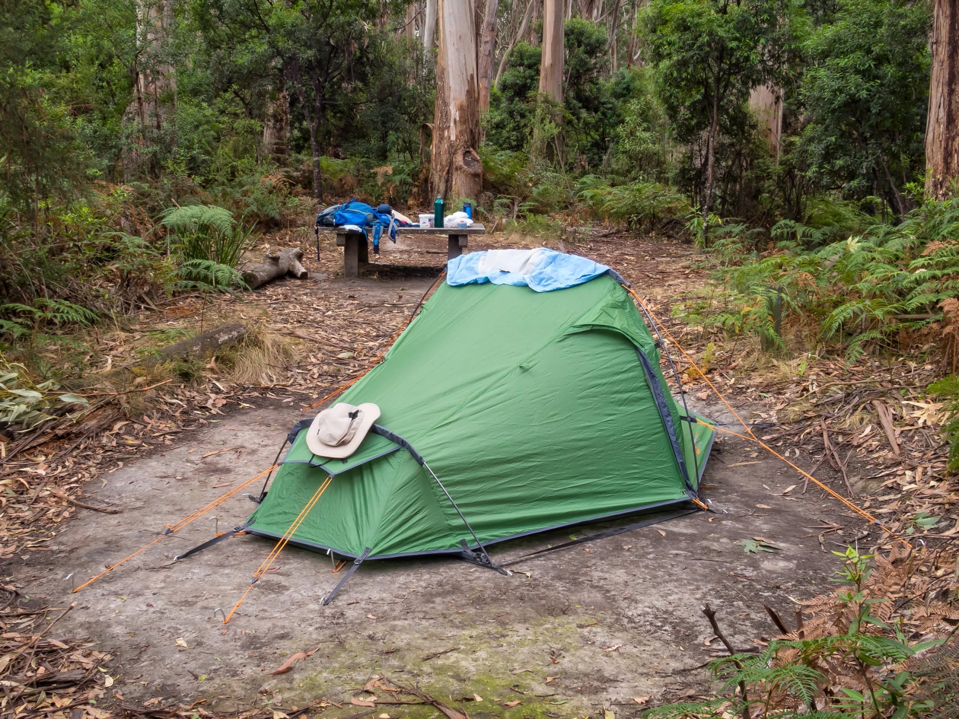
No bush camping in either park, so campers use the seven hike-in campsites: Elliot Ridge, Blanket Bay, Cape Otway, Aire River, Johanna Beach, Ryans Den and Devils Kitchen. Each has eight tent sites for up to three people (Aire River has six), untreated rainwater tanks, composting toilets and a three-sided shelter with a table. Tank water is not guaranteed, so treat what you find and carry extra in warm weather.
Book each campsite night ahead through the authority, before anything else. Campfires are banned at the hike-in sites at all times, and on Total Fire Ban days so are fuel stoves other than a gas stove used with care.
Beds with a roof
No lodge stands on the track itself. The beds are in the small places along the road, each a short drive from one of the walk's car parks.
Your day ends at | Nearest beds | What they are |
Shelly Beach or Elliot Ridge | Apollo Bay, Marengo | motels, apartments, caravan-park cabins |
Blanket Bay, Cape Otway | Bimbi Park, the Lightstation | holiday-park cabins; heritage cottages, few during the works |
Aire River, Castle Cove, Johanna | Glenaire, Johanna | self-catering cottages and farm stays |
The Gables, Princetown | Princetown, Port Campbell | guesthouses, motels |
Twelve Apostles | Port Campbell | motels, cafés and a general store |
Glenaire and Johanna have no shop or restaurant. Stock up for two days at the Apollo Bay supermarkets, or ask your cottage what it can provide. Cabins and cottages near the track are few, and these cottages sell out first in summer, so book them before anything else.
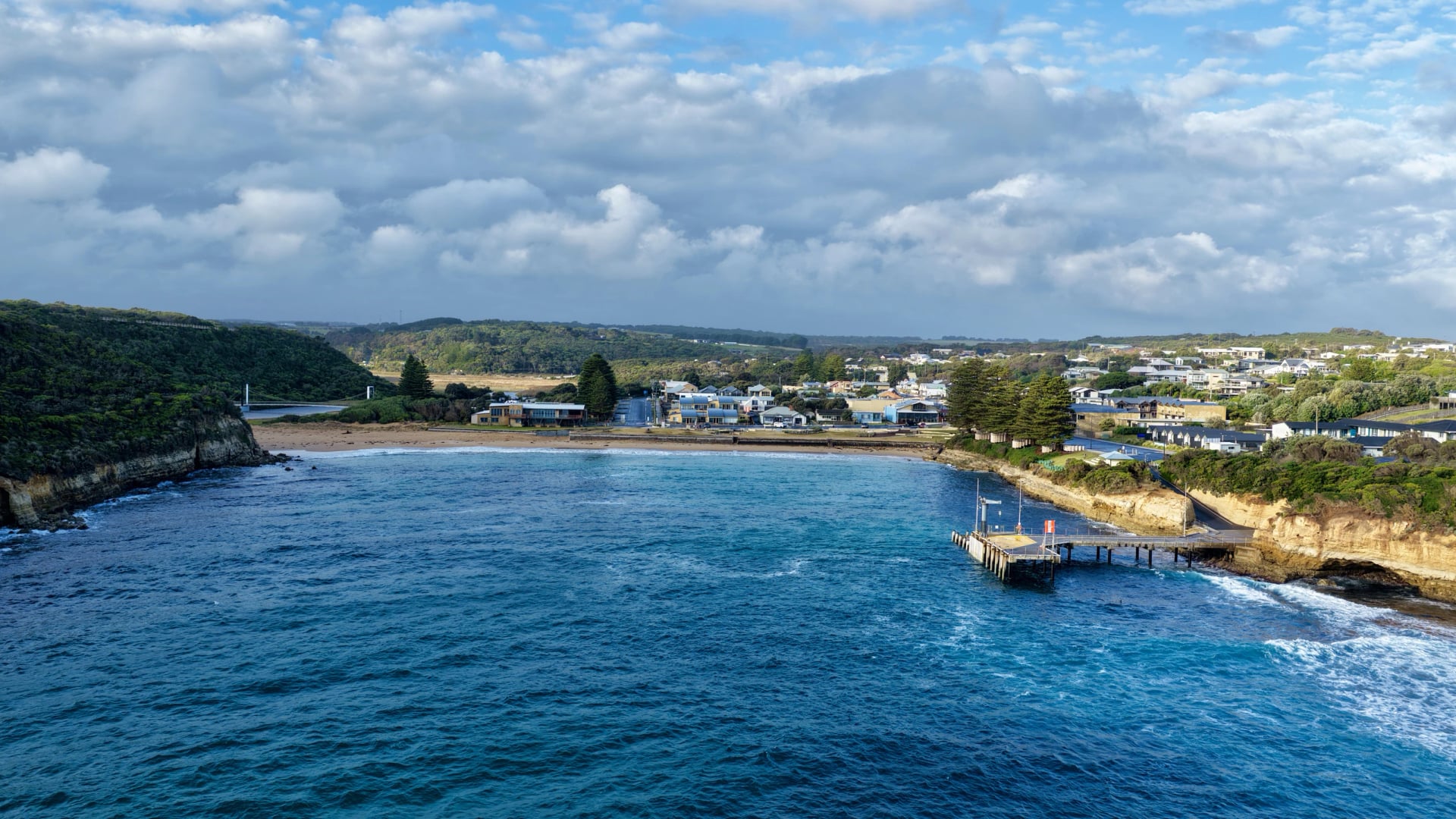
Great Ocean Walk Shuttle and Getting There
No public transport links the road ends, and the phone signal comes and goes, so everything on the track is pre-booked.
Flying in from abroad
International flights land at Melbourne Airport, where SkyBus runs to Southern Cross station in the city every 10 minutes from 4 am to 1 am; the V/Line trains for the coast leave from the same station. Coming off an overnight flight, sleep in Melbourne first; the trip down to Apollo Bay takes four hours. Check which visa or travel authority you need on the Home Affairs site before you book.
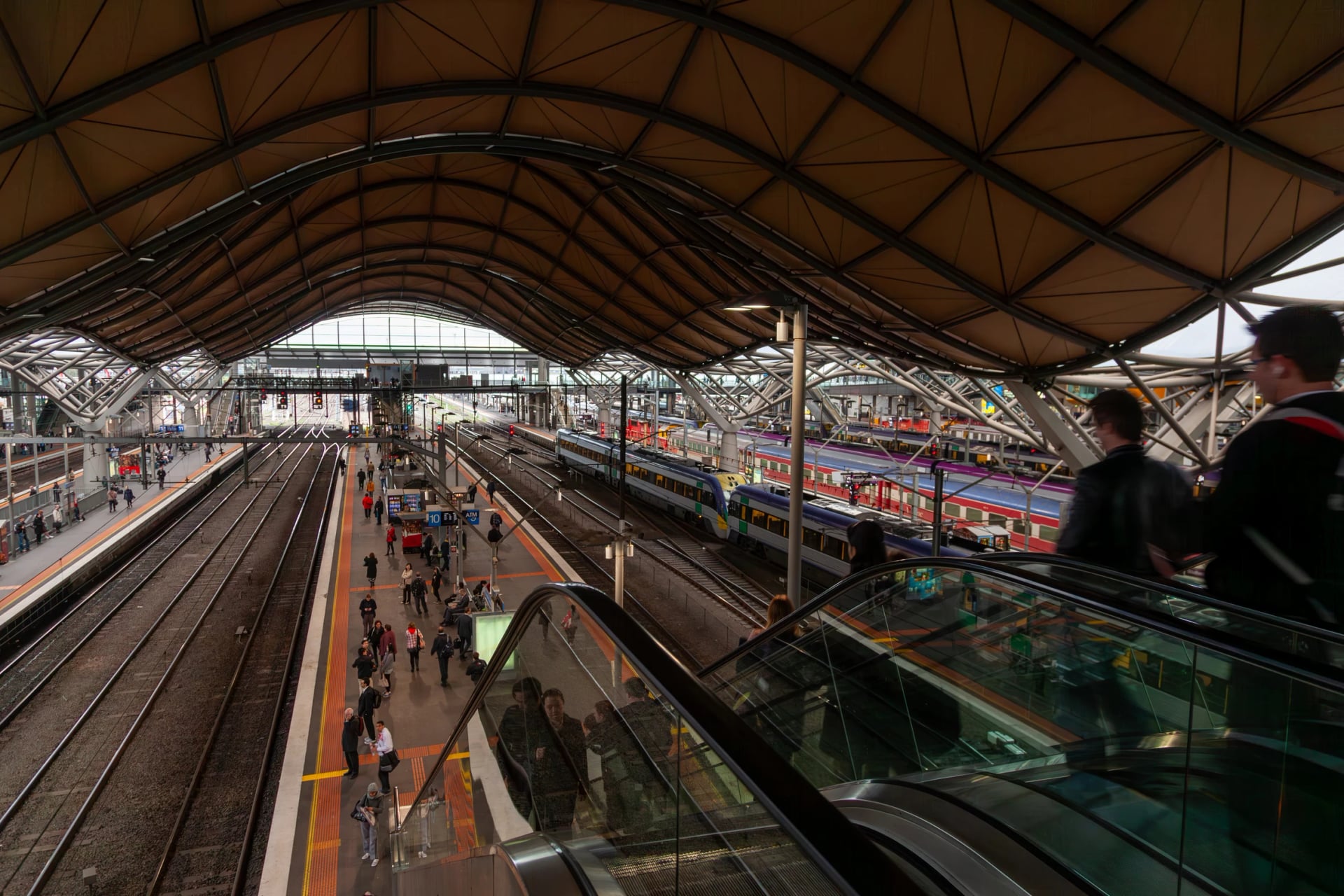
The coach to Apollo Bay
Take V/Line from Melbourne: the train runs to Geelong, where a coach carries on down the Great Ocean Road. On the timetable in force since 23 August 2026, the 09:10 train has you in Apollo Bay by 13:12, at the Visitor Information Centre, every day of the week. Check V/Line for your dates: a separate summer timetable applies over the school holidays, and on days of extreme heat slower heat timetables run on the Geelong line.
Getting home is harder: the Twelve Apostles coach runs three days a week. It continues west from Apollo Bay past Princetown and the Apostles to Warrnambool on Mondays, Wednesdays and Fridays only, and the summer timetable has no Twelve Apostles stop at all. The other way out is a transfer to the station at Camperdown, about 50 minutes inland, for a train to Melbourne.
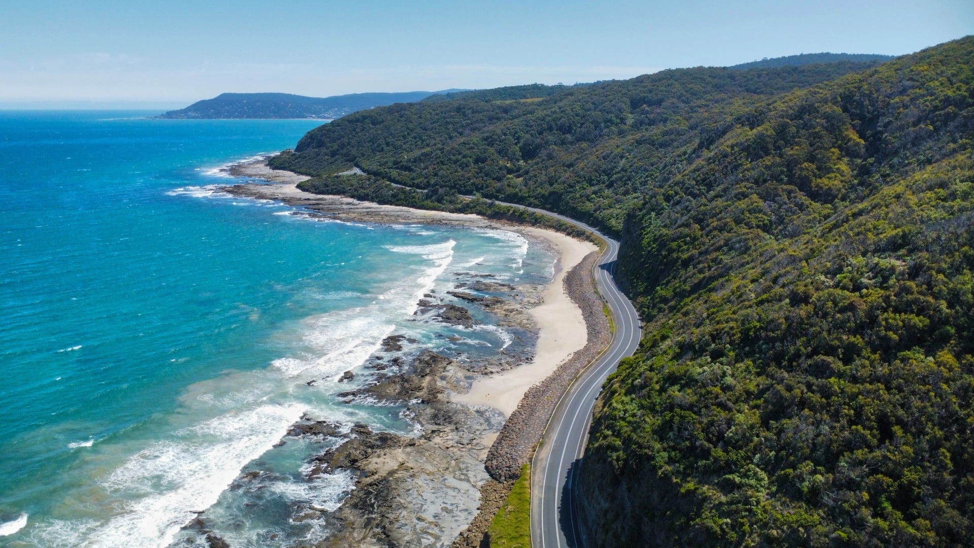
Shuttles along the walk
A handful of local operators run pre-booked transfers to the car parks on the walk, among them the Great Ocean Road Shuttle in Apollo Bay and Ride With Us, the former Timboon Taxi. Two road ends need care: Milanesia Gate needs a four-wheel drive, and the gravel road to The Gables is not for two-wheel-drive cars after rain. Some operators also leave food and water at a road end ahead of campers.
Agree every pick-up time before you set off. Phone signal is patchy and Telstra-only: Parks Victoria lists Blanket Bay beach, the track above Station Beach, Johanna Beach, the Milanesia creek crossing, Ryans Den, Moonlight Head and the sea-facing parts of Devils Kitchen.
Parking
If you drive, Parks Victoria's advice is to leave the car at the end and take a shuttle back to the start. There is no long-term parking in Apollo Bay or Marengo, and the Twelve Apostles car park now takes timed bookings.
On our tours every leg is booked with a local driver before you arrive, from the first drop-off to the last pick-up, so you never rely on a phone signal at a car park.
Rules, Risks and What to Pack
A few park rules apply everywhere: walk east to west, camp only at your booked hike-in site, light no campfires, carry out all your rubbish and leave the wildlife unfed. Walking after dark is not recommended.
The real risks come from the sea and the weather rather than the track. A big swell can cut off the cliff-locked beaches even at a moderate tide, rivers rise fast after rain in the Otways, and when the fire rating reaches Catastrophic the walk can close and V/Line warns its Great Ocean Road coaches may not run.
Pack for what each part of the coast throws at you:
Fords and beaches: wet feet at the Elliot River, Parker Inlet, Johanna and Milanesia. Add sandals or a small towel, and a dry bag inside your pack.
Clifftops in wind: cold gusts off the Southern Ocean in any month. Add a windproof shell and a fleece.
Open heath in summer: sun and heat with little shade. Add a hat, sunscreen and extra water.
Forest and scrub: leeches, ticks and the odd snake. Add a first-aid kit with a snake-bite bandage.
Stairs and mud: slippery steps after rain. Add boots with a good tread and walking poles.
No signal: hours without coverage. Add the map and tide times saved offline, and a charged power bank.
Leave the Road Ends to Us
Most of the work on this walk happens off the track: a four-wheel drive that has to be at Milanesia Gate on time, a cottage that must hold two nights, a start time worked out from two tide tables.
That is the part we take on. Send us your dates and how much of the coast you want to walk, using our inquiry form.
Would you rather talk it over first? Book a video call and an agent will walk you through it.
Frequently Asked Questions



Plan with a hiking expert
Free advice from a team that knows these routes inside out - real people, not a bot

HASSLE-FREE
We handle itineraries, accommodations, and anything else you prefer not to deal with, so you can enjoy a carefree hike.

BOOK WITH CONFIDENCE
We are a financially protected company, fully bonded and insured, keeping your money safe and allowing you to travel with confidence.

TRIED & TESTED ADVENTURES
We chose these walks for the scenery, then made sure each has a roof every night and needs no hire car.

HELP ON THE WALK
Plans changed, or something not as booked? Ring the support number in your guidebook. For police, fire or ambulance, call 000, even without credit.