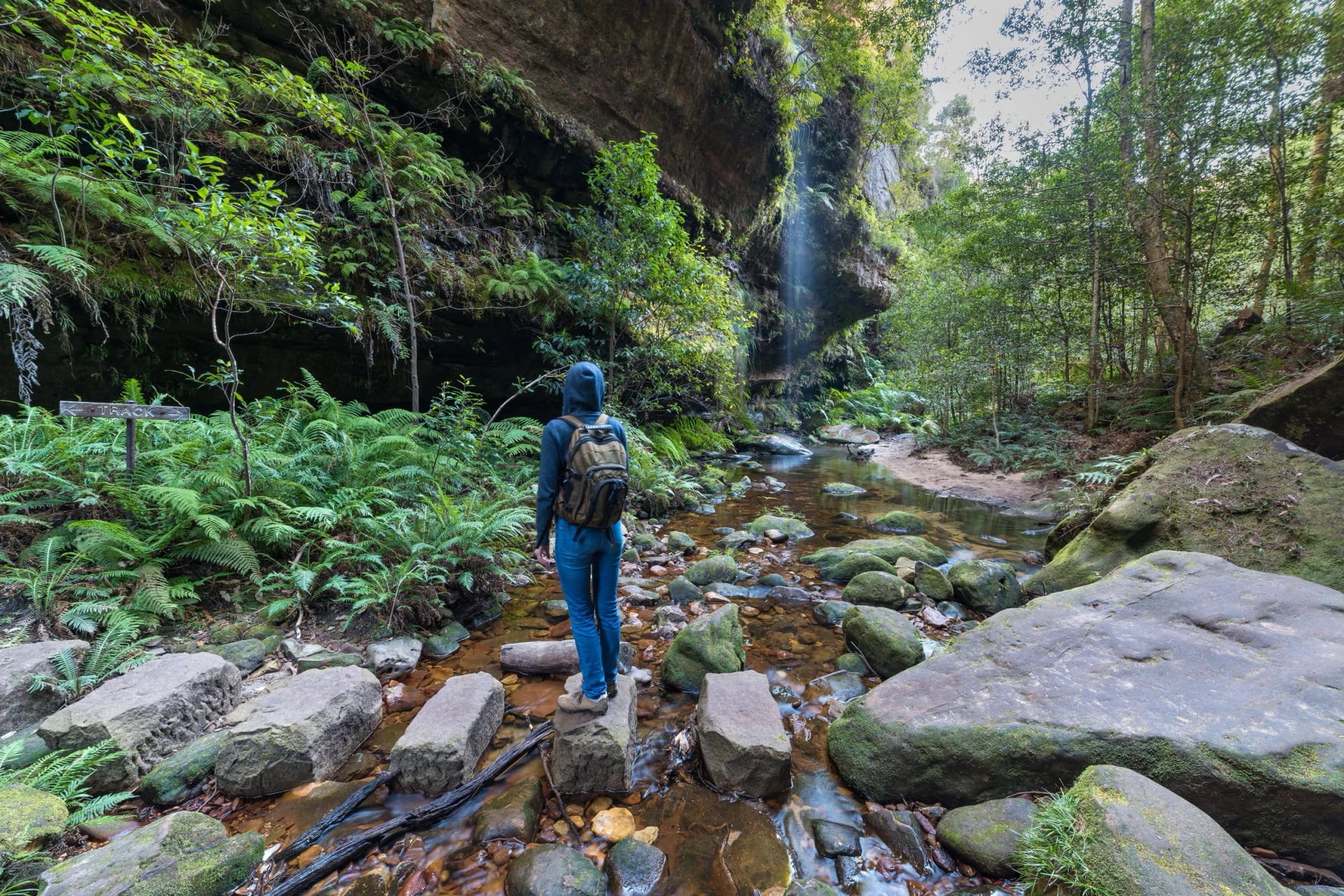
Blue Mountains Hikes - Station by Station From Sydney
Most Blue Mountains hikes start within an hour's walk of a station on the Sydney line, from the ledges of Wentworth Falls to the Grand Canyon at Blackheath.
Quick links
Don't want to read all this?
We've planned 2,000+ hiking trips. Send your dates, fitness and group size — we'll map the route and book every night.



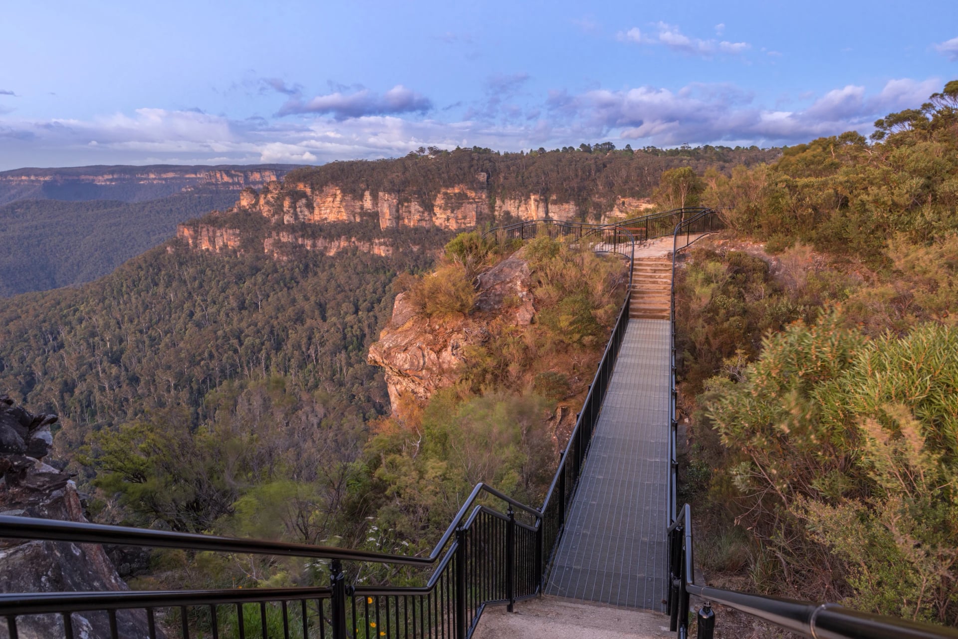
Stand at Echo Point on a clear morning and the Jamison Valley falls away at your feet: the Three Sisters on one side, the flat top of Mount Solitary ahead, and a blue horizon of eucalypt forest, more than 90 species of it by the national park's count. Look closer and you can pick out the tracks along the rim and the stairways cut down into the forest below.
You don't need a car to reach any of it. Trains from Sydney's Central station climb the range in about two hours, at least once an hour, and you pay by touching a bank card or phone on the gate readers. This guide follows the line up the mountains, station by station: which walk to take from each platform, how long and how hard it is, and what is closed right now.
Best Blue Mountains Hikes by Station
Station | Best hike from it | Walking time |
Wentworth Falls | Charles Darwin Walk to the falls | 45 min to 1 h 15, each way |
Leura | Prince Henry Cliff Walk to Katoomba | 3 to 4 h, one way |
Katoomba | Giant Stairway down to Scenic World | 2 to 3 h, one way |
Blackheath | Grand Canyon track | 3 to 4 h loop, plus an hour's walk each way |
Mount Victoria | Victoria Falls | 2 h to 2 h 30, return, by taxi from the station |
Katoomba | Six Foot Track | 3 days, ending at Binda for now |
Blue Mountains Walking Tracks Map
NSW National Parks grades its tracks from 1 to 5. Grade 1 tracks are wheelchair friendly, Grade 3 needs some bushwalking experience, and Grade 4 is, in its own words, challenging, very steep and full of steps. Most walks here are Grade 3 or 4, and nearly all of them climb back out of a valley at the end, so allow more time than the distance suggests. Here is how we rate fitness and technical difficulty, if you want to compare.
Every station and trailhead is on our map:
Wentworth Falls Walks
Wentworth Falls is the first big stop on the climb from Sydney. The village sits back from the cliffs, and the waterfall it is named after drops about 100 metres into the Jamison Valley. Everything here is walkable from the platform: Wilson Park is 500 metres away, and the Wentworth Falls picnic area and the Conservation Hut are each about 30 minutes on foot.
Charles Darwin Walk
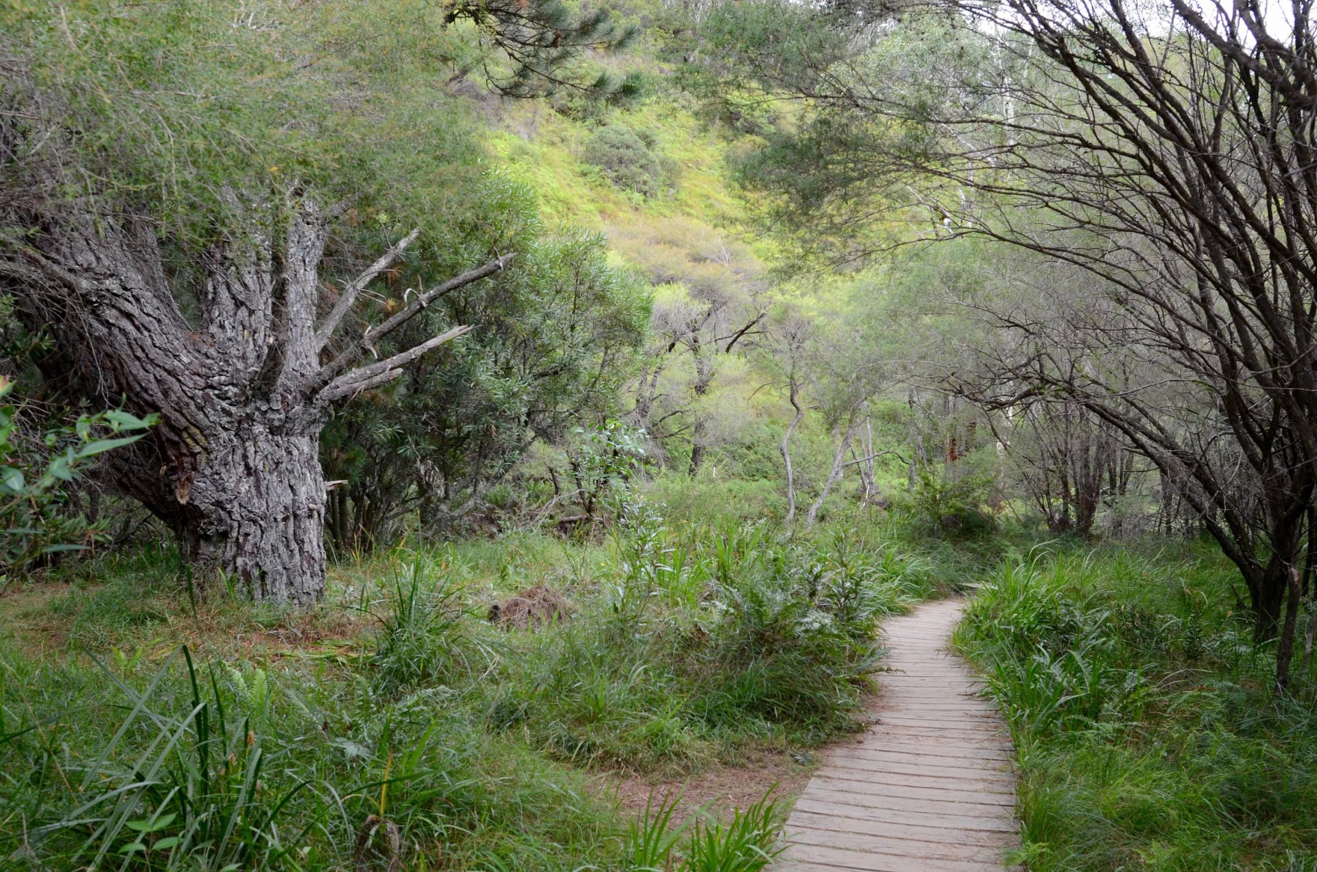
2.4 km one way · 45 min to 1 h 15 · Grade 3 · starts in Wilson Park, 500 m from the station
The walk follows Jamison Creek from the village to the head of the falls, on boardwalk and bush track past rock pools and hanging swamps, the same way Charles Darwin went in 1836. It ends near Weeping Rock, about 400 metres from the falls, so you can carry straight on to the lookouts.
Wentworth Falls and the National Pass
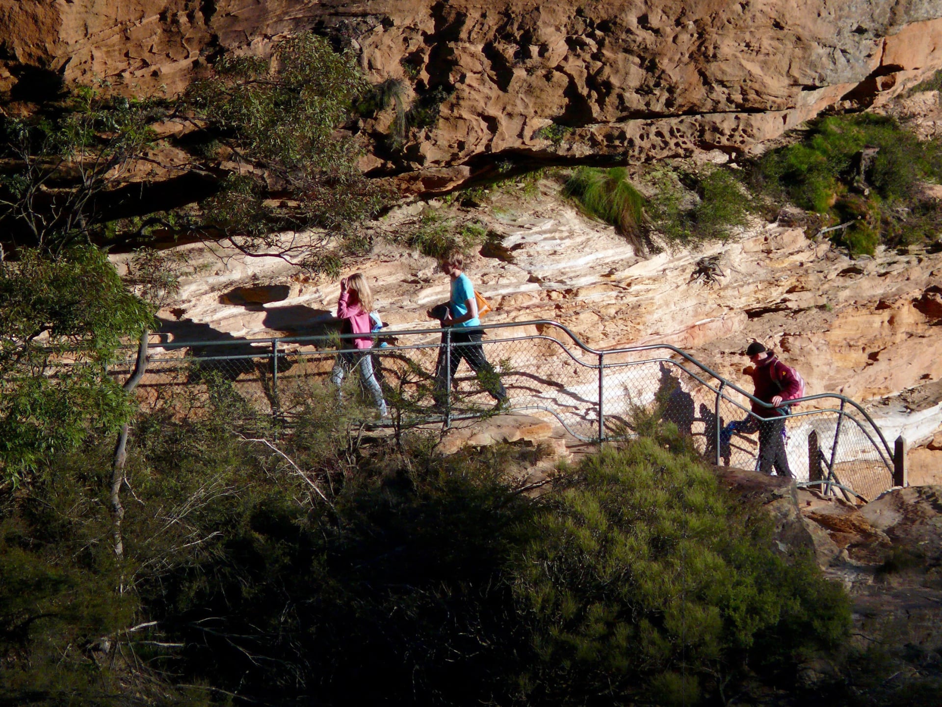
Wentworth Falls track 1.4 km return, 45 min to 1 h, Grade 3 · National Pass 4.5 km loop, 2 h 30 to 3 h 30, Grade 4, when fully open · both from the Wentworth Falls picnic area
The National Pass is built into the cliff face, and its Grand Stairway drops beside the falls to a ledge along the middle of the cliff. A major landslide has closed it west of the middle crossing of the falls, with a review due on 21 November 2026, so for now you go down to the crossing, look along the ledge and climb back up. The Overcliff and Undercliff tracks, a 3.5 km loop, keep to the rim with lookouts towards Mount Solitary.
Valley of the Waters and Empress Falls
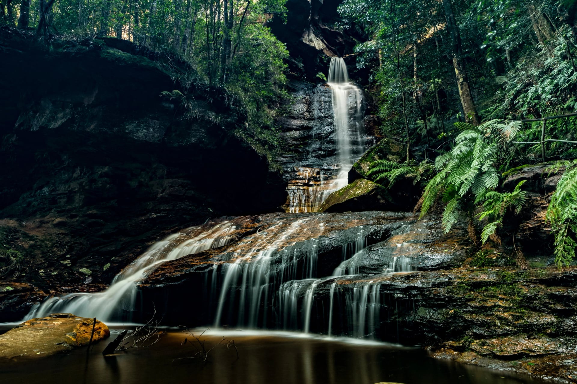
From the Conservation Hut, a café on the cliff edge, about 2.2 km from the station
Only the top of the Valley of the Waters is open, down to Sylvia Falls. The track drops into the gully on steep stairs, past Empress Falls, which spills over shelves of dark sandstone into a pool. Rockfalls have shut everything below Sylvia Falls, so for now it is a short out-and-back.
Leura Walks
Leura's main street, the Mall, runs south from the station lined with cafés. Most Leura walks start at a cliff-edge picnic area, at Leura Cascades or at Gordon Falls, each about 2 km from the platform on foot. No public bus stops at either.
Prince Henry Cliff Walk
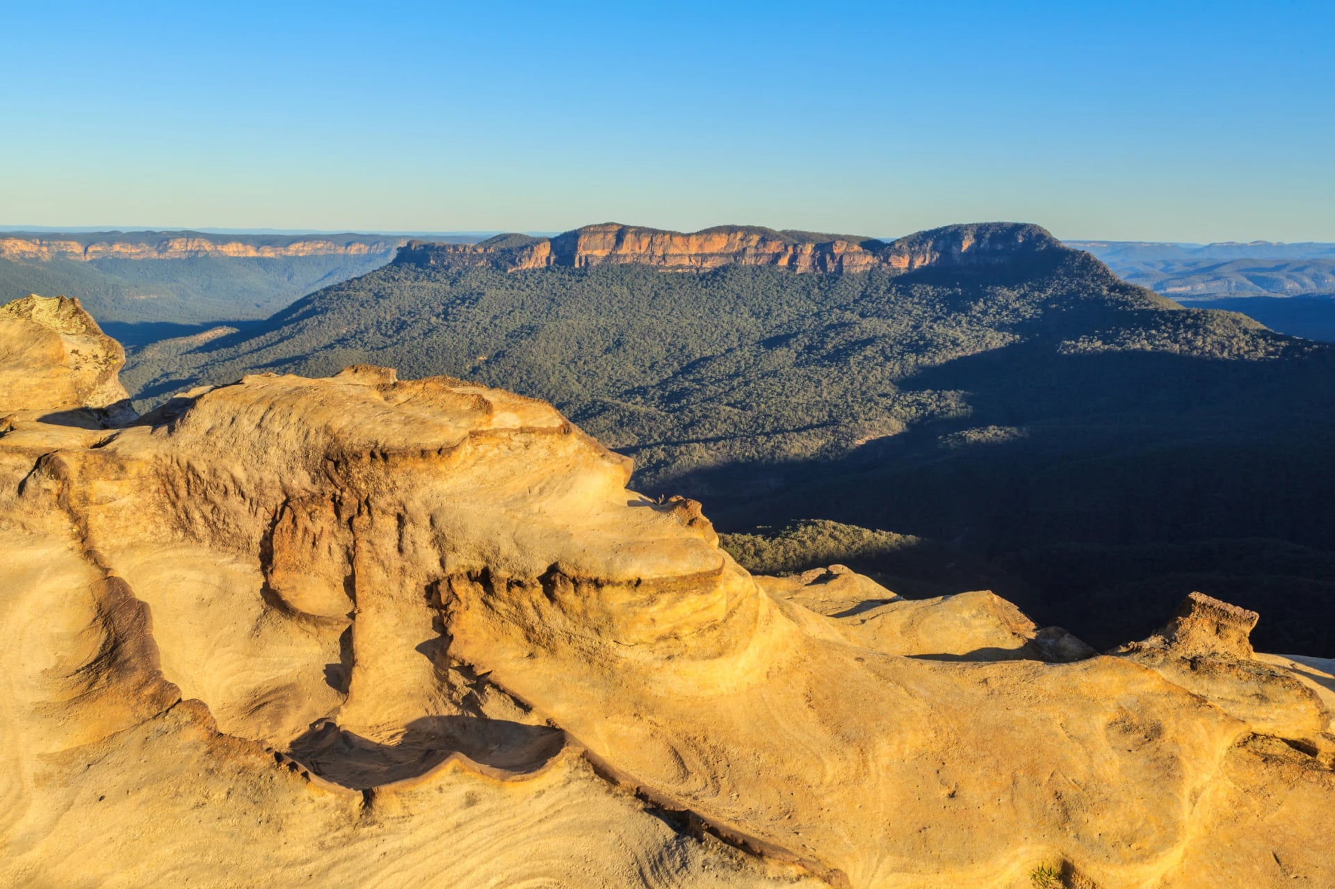
7 km one way · 3 to 4 h · Grade 3 · Gordon Falls to Katoomba Cascades
This is the long way to see the Jamison Valley from above: the track keeps to the cliff edge past more than 20 lookouts, three waterfalls and the hanging swamps where Christmas bells flower in summer. Cliff Drive runs close behind the track, so you can join or leave it at lookouts along the road. Walk it west and you finish in Katoomba, where bus 686 runs back to the station.
Leura Cascades and Fern Bower
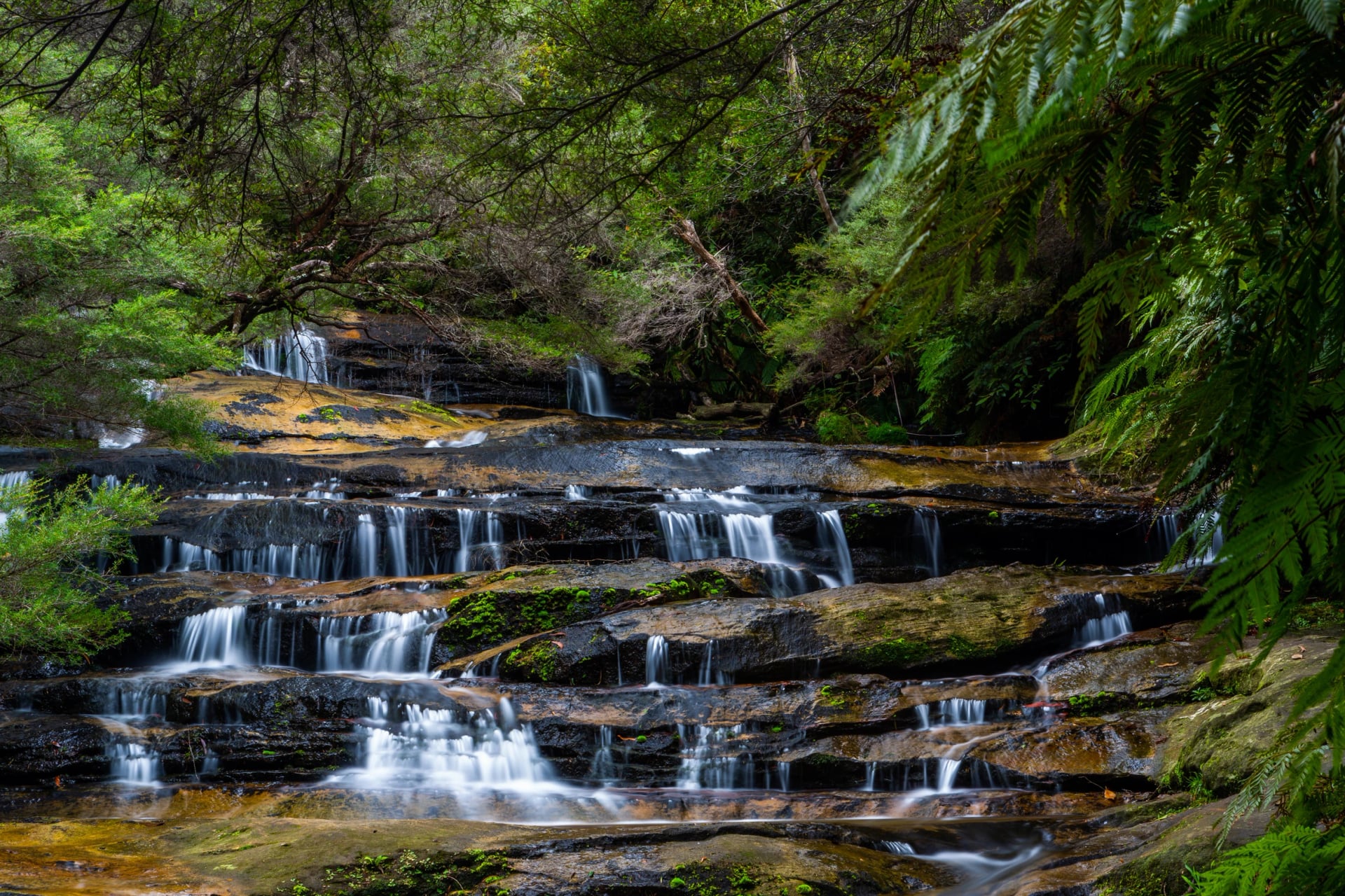
4.5 km loop · 3 h · Grade 4 · from the Leura Cascades picnic area, about 2.3 km from the station
Leura Creek steps down to the cliff in a run of small falls through tree ferns, and a loop follows a sandstone ledge to Fern Bower, an amphitheatre under an overhang. Lower Fern Bower, the way down to Leura Forest, is closed until 30 October 2026.
At Gordon Falls, a 1.7 km loop (45 min to 1 h 30, Grade 3) goes down steep stairs to the Pool of Siloam, a small waterfall in a fern gully, then up the creek to Lyrebird Dell, a large sandstone cave of Aboriginal significance. Fortress Ridge and Lockley Pylon, north of the village, are closed until 17 December 2026.
Katoomba and the Three Sisters
Katoomba is the main town of the upper mountains. Echo Point, where the Three Sisters stand off the cliff, is about 2.5 km from the station, and bus 686 loops to Echo Point and Scenic World every 20 minutes through the day. The Three Sisters are a declared Aboriginal Place on Gundungurra Country.
Three Sisters Walk and the Giant Stairway
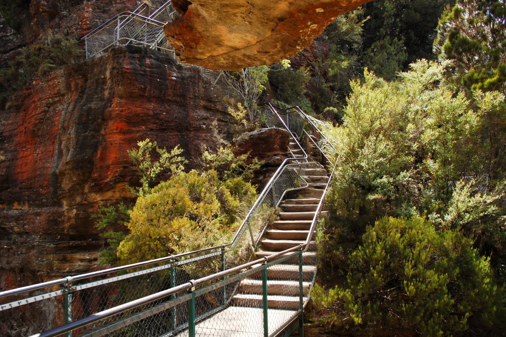
Three Sisters walk 0.8 km return, 25 to 45 min, Grade 1 · Echo Point to Scenic World via the Giant Stairway 4.7 km one way, 2 to 3 h, Grade 4
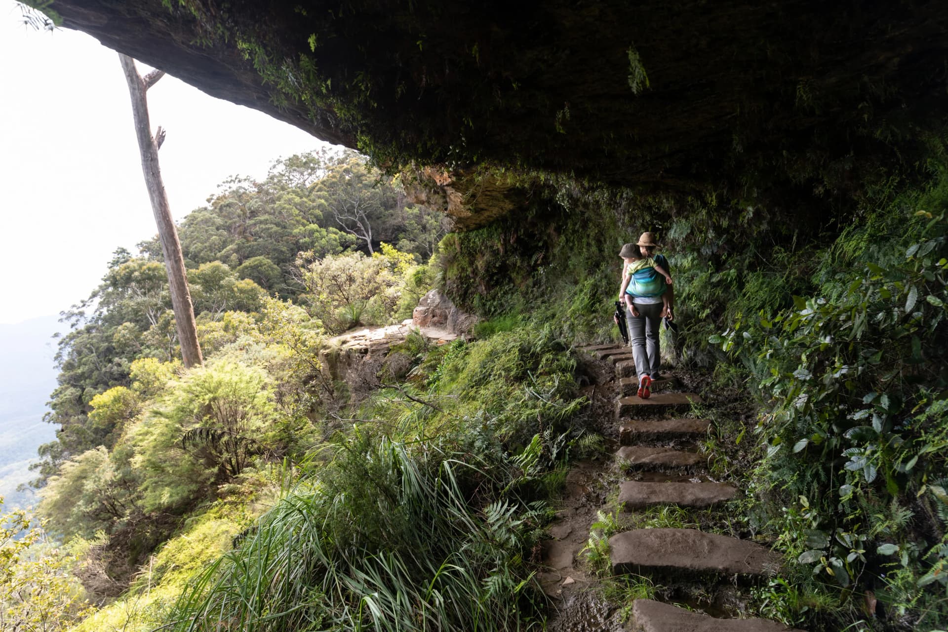
From Echo Point, a short path takes you past the sisters to Lady Game lookout, close enough to see the layers in the rock. From there the Giant Stairway goes down 998 steps beside the first sister into the valley rainforest, and on summer weekends there can be a queue at the top. Honeymoon Bridge, the bridge across to the first sister, is closed after a rockfall.
At the bottom, the Federal Pass leads west under the cliffs to Scenic World. Climb out on the Furber Steps (2.2 km return, 1 to 2 h, Grade 3) past Katoomba Falls, or ride up on the Scenic Railway, which is private, ticketed and stops at closing time. The Dardanelles Pass loop (5.3 km, 2 h 30 to 3 h 30, Grade 4) is the longer way back to Echo Point.
Ruined Castle and the Golden Stairs
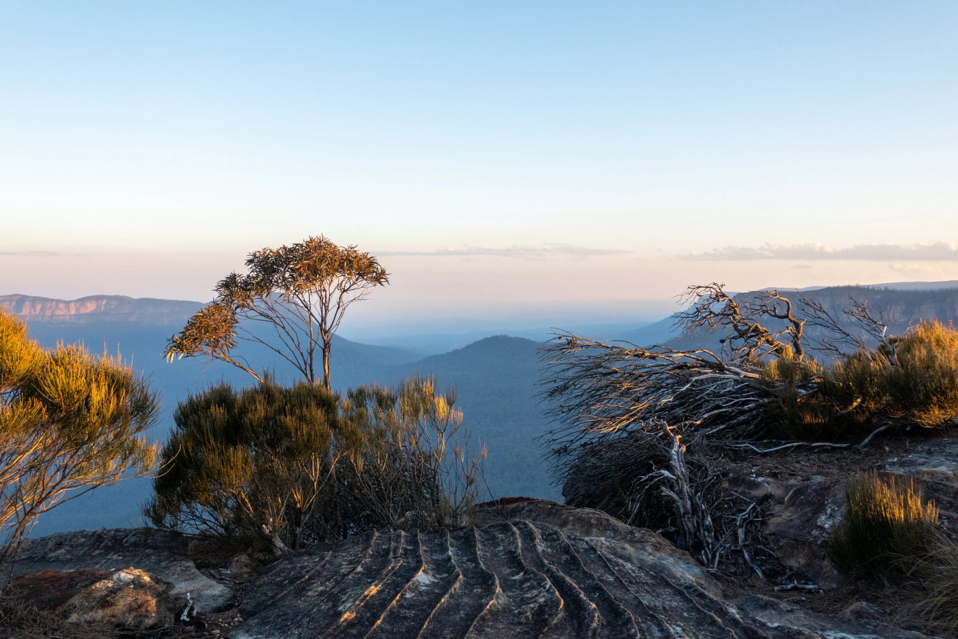
Golden Stairs 1.6 km return, 1 h to 1 h 15, Grade 5 · Ruined Castle 6.6 km return from the stairs, 4 to 5 h, Grade 4 · about 5.3 km from the station
The Golden Stairs are Grade 5, the top of the scale: about 200 metres down through bands of cliff to the Federal Pass, and roughly 45 minutes back up. Subsidence has closed Glenraphael Drive to cars, so for now the way in is on foot:
From Scenic World, walk Glenraphael Drive for about 2.7 km to the head of the Golden Stairs.
Go down the stairs to the Federal Pass and follow it west past tumbled-down miners' cottages.
Scramble up between boulders onto the Ruined Castle rocks: the view reaches back to Katoomba and across to Mount Solitary.
Return the same way, saving something for the stairs.
Minnehaha Falls, in North Katoomba, is a council track; we found no published distance or grade for it.
Blackheath and the Grose Valley
Blackheath looks the other way from Katoomba: north and east over the Grose Valley, a wilderness of sheer orange walls with no road along the bottom. Bus 698 runs from Katoomba to the Heritage Centre on Govetts Leap Road, the national park's visitor centre, but none of the lookouts has a bus stop.
Grand Canyon Track
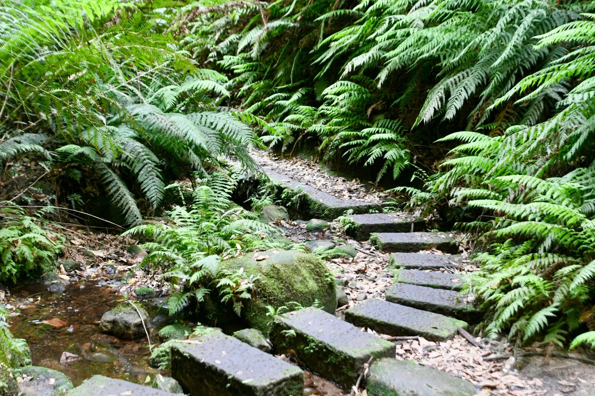
6.3 km loop · 3 to 4 h · Grade 3 · from the Grand Canyon car park on Evans Lookout Road, about 4.6 km from the station
The loop drops through heath into Neates Glen, then follows Greaves Creek along the floor of a narrow, fern-lined slot, under ledges and past small waterfalls, before climbing out to Evans Lookout and back along the rim. It needs no ropes or canyoning gear, just shoes that grip wet sandstone. The shade makes it a good choice on a hot day, but stay out of it before, during and after heavy rain, when the creek can flood. The car park is about an hour's walk from the station; bus 698 covers the first part of Evans Lookout Road.
Pulpit Rock and Govetts Leap
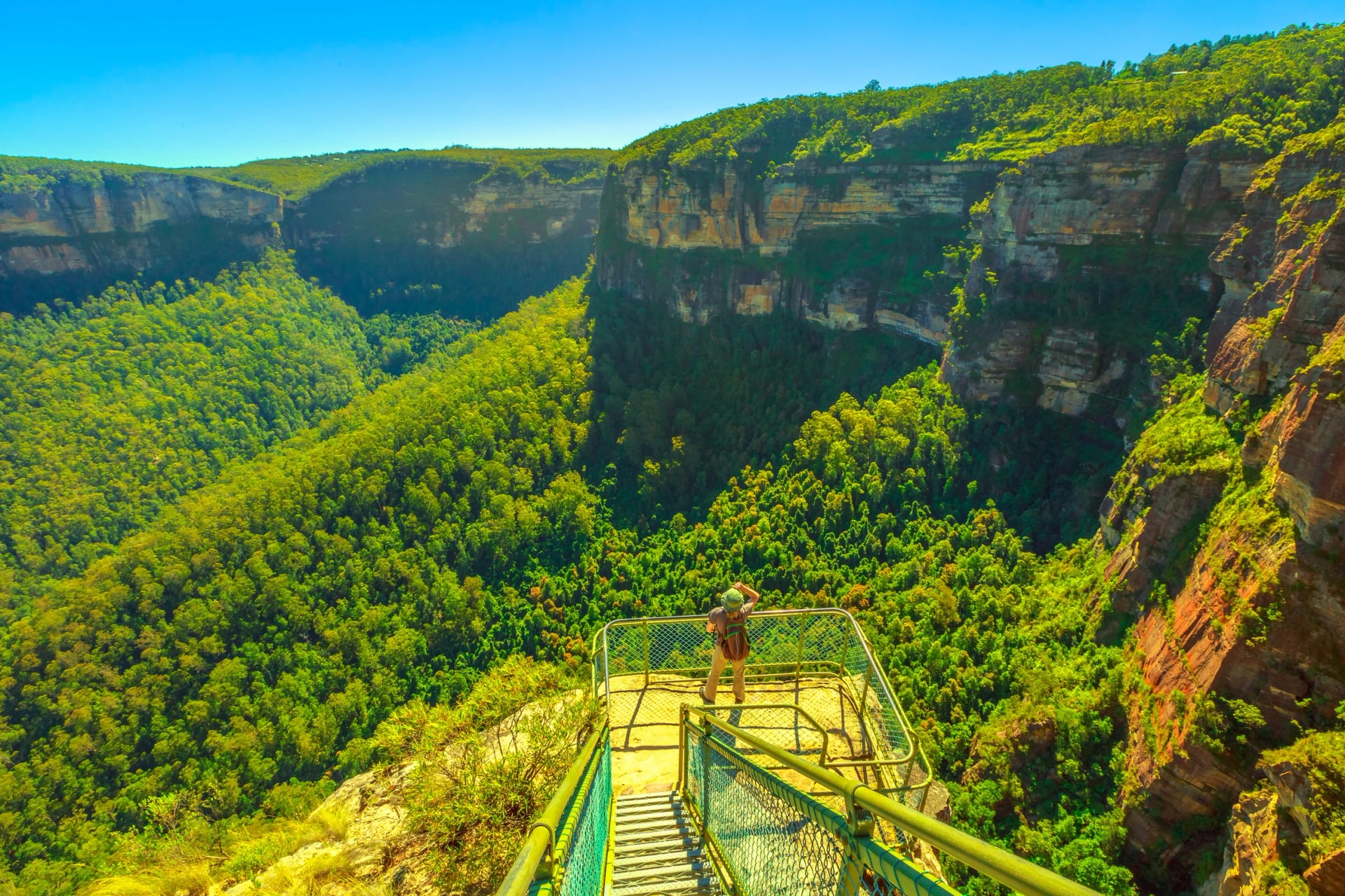
Govetts Leap is about 3.2 km from the station, at the end of Govetts Leap Road, with Bridal Veil Falls pouring off the cliff beside the lookout. Two Grade 3 rim tracks start at Govetts Leap:
South to Evans Lookout: the Cliff Top track, 6 km return, 3 h to 3 h 30, through windswept heath that catches the morning sun, so it suits a cold winter start.
North to Pulpit Rock: 7 km return, 2 to 3 h, across Popes Glen and past a lookout above Horseshoe Falls, to an isolated pinnacle joined to the cliff by a blade of rock.
If you come by bus, the Fairfax Heritage track (1.8 km one way, 30 to 45 min, Grade 1) links the Heritage Centre with the lookout. The steep Govetts Leap descent into the valley is closed after rockfalls, with a review due on 25 October 2026.
Hanging Rock
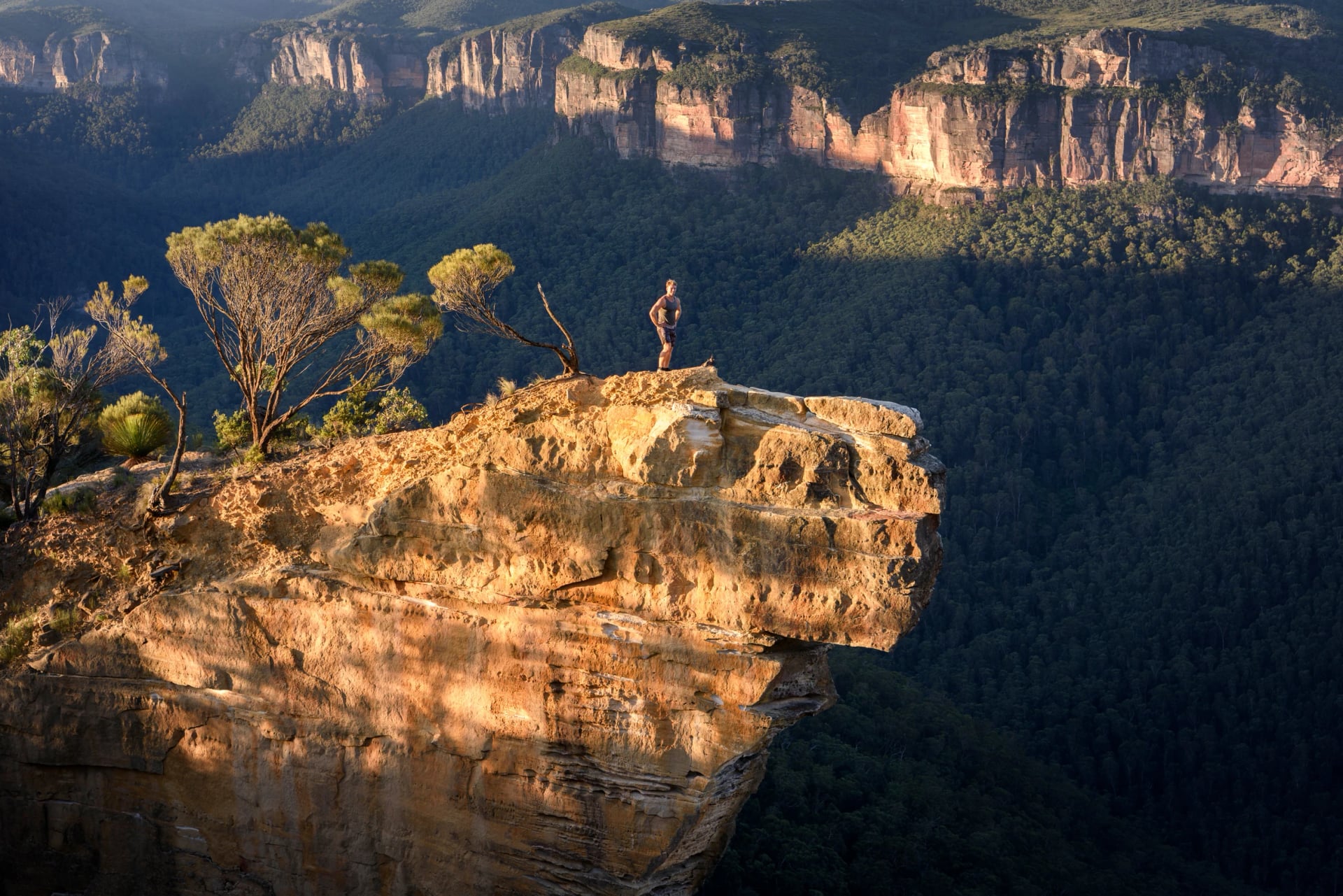
10 km return · about 4 h on foot · medium · from the end of Ridgewell Road, about 3.5 km from the station
Hanging Rock and its lookout have no fence. A fire trail runs along Burramoko Ridge, then a short bush path leads to Baltzer Lookout and the rock, a tilted slab of sandstone over the Grose Valley. Keep well back from the edge; walking groups in this part of the Grose Wilderness are limited to eight.
Porters Pass and Centennial Glen
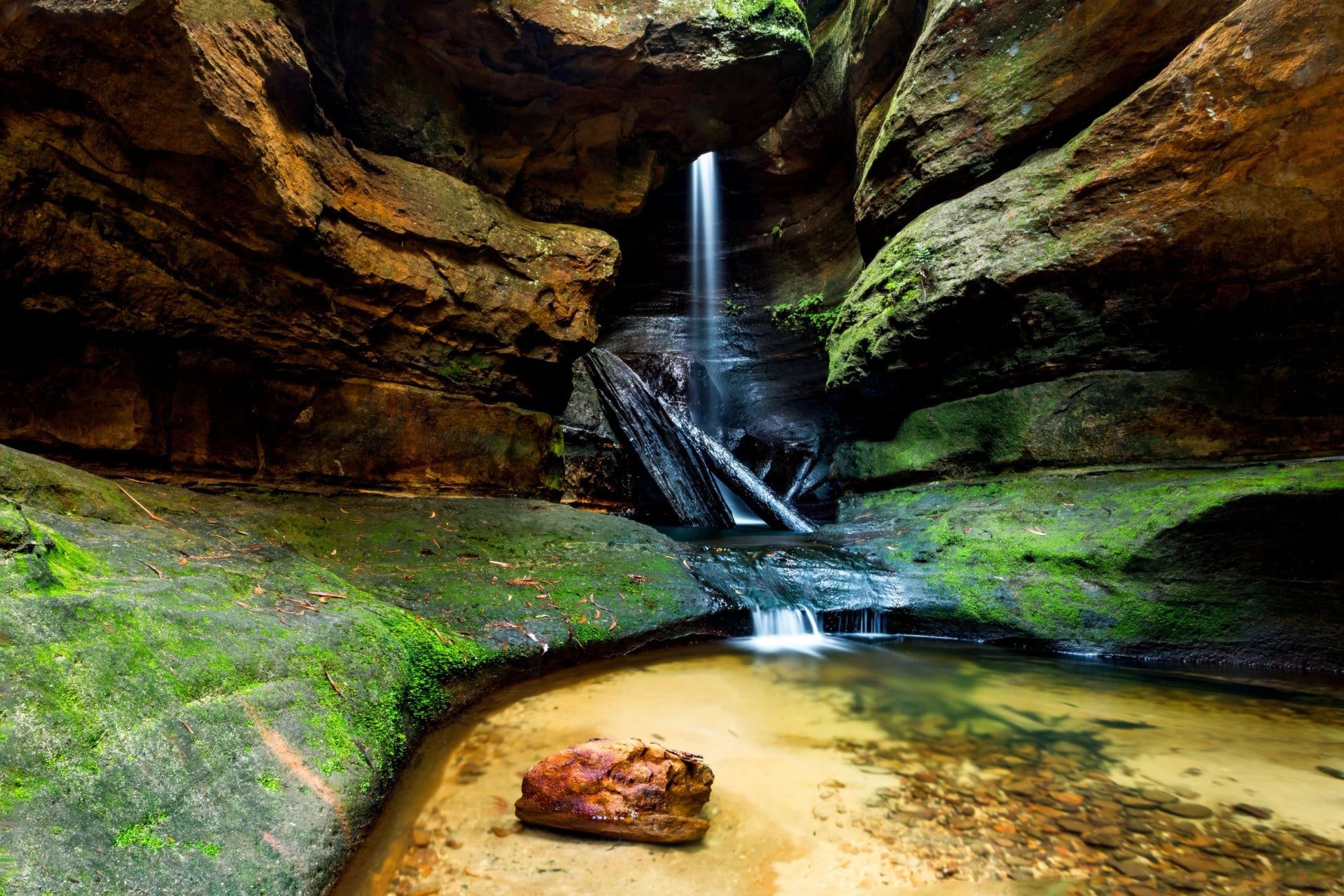
5.2 km · 2 h 30 to 3 h · Grade 3 · from the end of Centennial Glen Road, about 1.8 km from the station
The closest walk to Blackheath station follows the Centennial Glen and Porters Pass tracks under the Walls Edge cliffs, popular with rock climbers, past a small waterfall in the glen. A shorter 1.8 km loop takes in the cliffs only.
Perrys Lookdown and the Blue Gum Forest
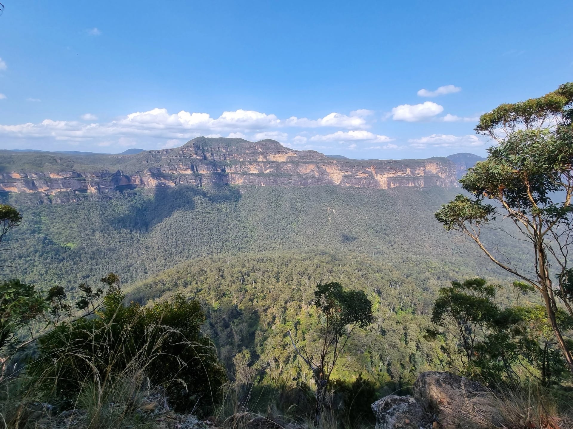
Perrys Lookdown, about 10 km from the station by road · 4 km return by one NPWS page, 6.6 km by another · 3 to 4 h · Grade 4
A steep track with many steps drops from the lookout into the Grose Valley to the Blue Gum Forest, a stand of tall eucalypts on the valley floor. Book a taxi both ways or stay the night at Acacia Flat campground beside the forest, because no bus reaches Perrys Lookdown.
Mount Victoria
Mount Victoria is the next station up the line. Its walk in this guide starts well out of the village, so it is a taxi ride from the platform.
Victoria Falls
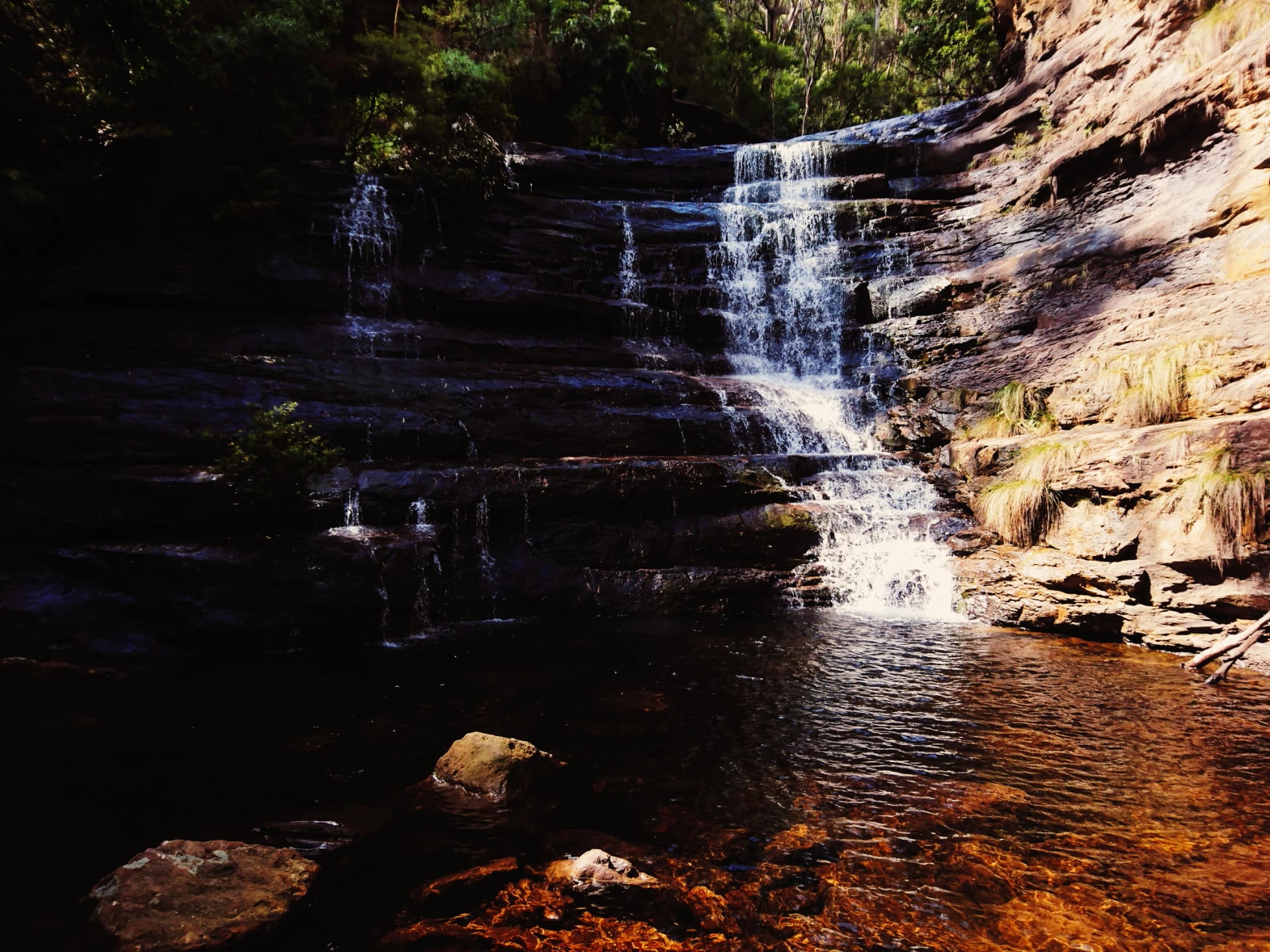
4 km return · 2 h to 2 h 30 · Grade 4 · from the Victoria Falls Road car park, about 6.7 km from the station
Victoria Falls drops about 20 metres over a sandstone overhang below a track that zigzags down the cliff.
The Six Foot Track
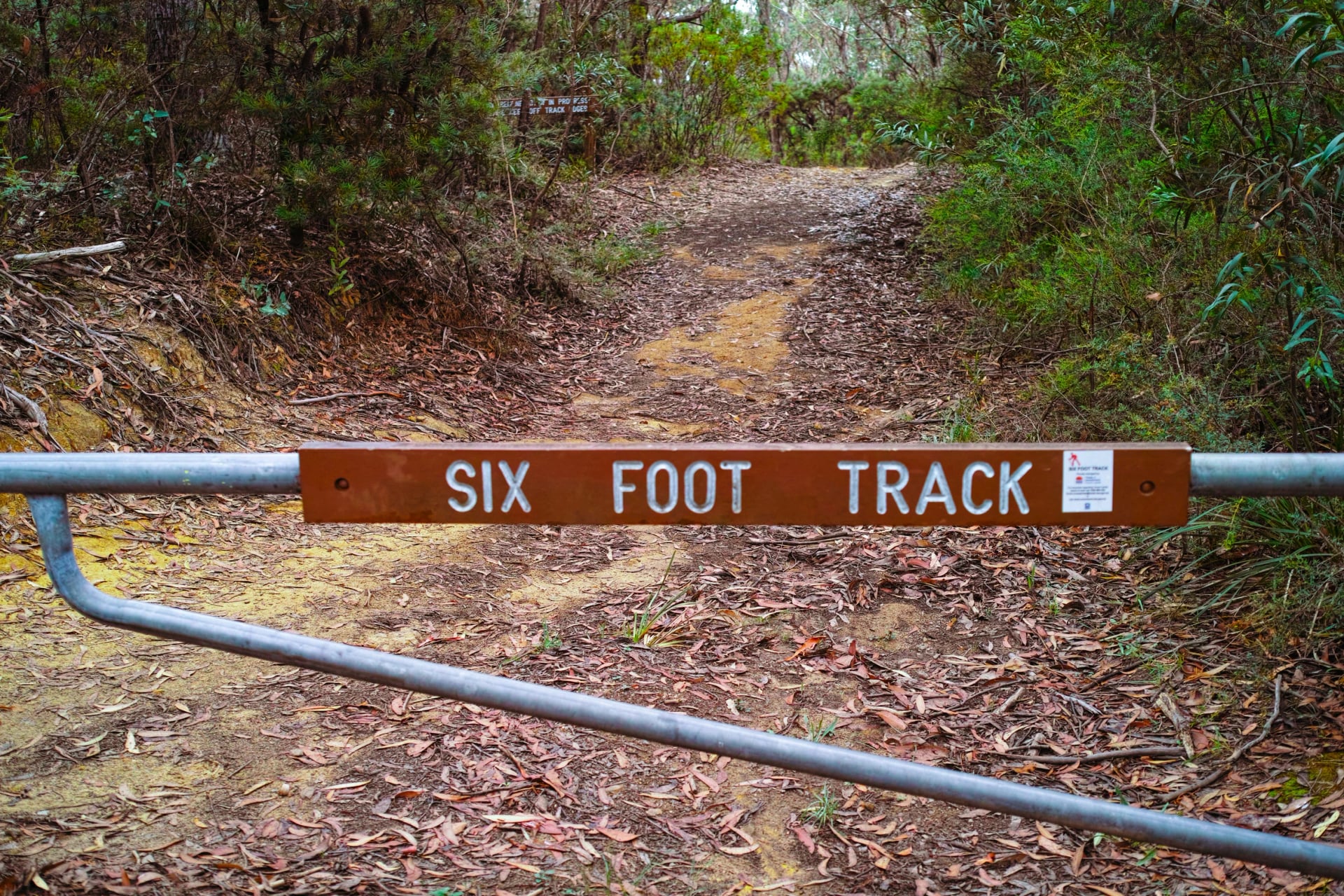
The Six Foot Track starts at Explorers Tree, beside the highway on the western edge of Katoomba, about 2.8 km from the station. It was built in 1884 as a horse track to Jenolan Caves, six feet wide, and it is the classic three-day hike of the Blue Mountains: down Nellies Glen to the Megalong Valley, across the Coxs River and over the Black Range, camping each night.
For now it doesn't reach the caves. Jenolan Karst Conservation Reserve stays shut until 31 December 2026, the track is closed at its boundary, and it ends at Binda Bush Cabins, 42 km from the start, with no public transport. The usual plan is a first night at the Coxs River campsite, about 16.5 km in (or Old Ford Reserve at about 8.5 km for a short day), and a second at the Black Range camping ground, about 35 km in. The track is managed by Crown Lands, who answer questions on 1300 886 235.
Nellies Glen, in the first hour, is the steepest stretch: a long run of earth and timber steps with no handrails. At the Coxs River the track usually crosses by a ford, with Bowtells Swing Bridge upstream for when the river is high. The campsites are fuel-stove only, phone reception is unreliable, and the track turns boggy after rain. The first section on its own, down Nellies Glen to Megalong Road, makes an 8 km outing with a pre-booked taxi back up.
Multi-Day Hikes in the Blue Mountains
Beyond the Six Foot Track, there are four more ways to spend several days walking here. For multi-day hikes elsewhere in the country, see our guide to Australia's multi-day hikes.
Heading on to Victoria? Its sandstone range, with a long trail of its own, is in our guide to the Grampians hikes. On the coast, our Great Ocean Walk guide follows the cliffs west to the Twelve Apostles.
Grand Cliff Top Walk, 2 days, beds: 19 km from Wentworth Falls to Katoomba along the cliff top, Grade 3, free and open all year. NSW National Parks splits it at Gordon Falls in Leura, 11 km then 8 km, and there is no campsite, so the night is in Leura or Katoomba. Both ends are on the railway.
Mount Solitary, 3 days, camping: a 34 km Grade 5 loop from Katoomba over the flat-topped mountain south of Echo Point, with bush campsites and creek water you must treat.
Grose Valley overnight, camping: Acacia Flat campground beside the Blue Gum Forest, below Perrys Lookdown; no camping fee, but it has to be booked.
Kanangra to Katoomba, for experienced navigators only: NSW National Parks warned on 10 October 2026 that fire regrowth and flood damage have hidden parts of the route, with little or no water.
Linking these walks yourself means matching trains to trailheads, finding two sets of rooms and checking the closures list every morning. Our self-guided walk takes that on: an agent books rooms in Blackheath and Katoomba, your Scenic World tickets and a second route for any day whose track has shut, and a support line answers while you're out walking. See the tour:
Before You Go
Five things to sort out before you step off the train:
From October to March, total fire bans are declared at about 5 pm for the next day, and on the riskiest days NSW National Parks can close parks altogether. A park fire ban also rules out campfires and solid-fuel stoves until 31 March 2027. When it's hot, walk in the morning.
Sandstone cliffs shed rock after wet weather, so check the NSW National Parks alerts the evening before. On 21 October 2026 the closures on these walks were the National Pass beyond the middle crossing, the Wentworth Pass, the Valley of the Waters below Sylvia Falls, Honeymoon Bridge, lower Fern Bower, the Govetts Leap descent, the Mount Hay tracks and Lincolns Rock.
Borrow a personal locator beacon at the Blue Mountains Heritage Centre on Govetts Leap Road in Blackheath, open 9 am to 4 pm every day but Christmas Day.
It costs nothing. You fill in a trip intention form, which also sends your plans to an emergency contact.
Take all the water you need. NSW National Parks says no creek or river in the park can be relied on to be clean.
Coverage is patchy below the cliffs, and you need a signal to call Triple Zero (000).
So book any taxi back before you set off, and download the Emergency Plus app: it shows your location for the call.
Rather Not Juggle Trains and Closures?
The walking here is not the hard part. Fitting the days to what is open is: a landslide shuts a pass, a fire ban moves a plan, a weekend train becomes a bus. Send us the walks you have in mind through our inquiry form, and an agent will build the days around what is open in the weeks you travel.
Would you rather speak to someone? Book a video call and an agent will go through the options with you. Many walkers add Tasmania to the same trip, and our guide to Tasmania's hikes is the place to start on that.
Frequently Asked Questions



Plan with a hiking expert
Free advice from a team that knows these routes inside out - real people, not a bot

HASSLE-FREE
We handle itineraries, accommodations, and anything else you prefer not to deal with, so you can enjoy a carefree hike.

BOOK WITH CONFIDENCE
We are a financially protected company, fully bonded and insured, keeping your money safe and allowing you to travel with confidence.

TRIED & TESTED ADVENTURES
We chose these walks for the scenery, then made sure each has a roof every night and needs no hire car.

HELP ON THE WALK
Plans changed, or something not as booked? Ring the support number in your guidebook. For police, fire or ambulance, call 000, even without credit.