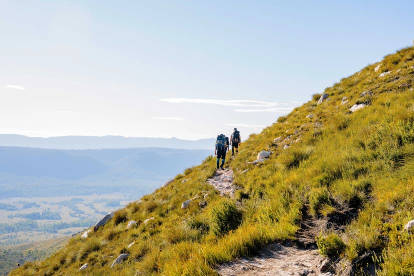
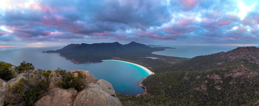
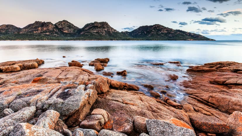
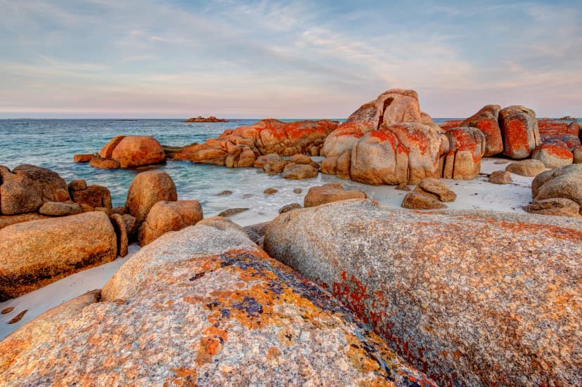
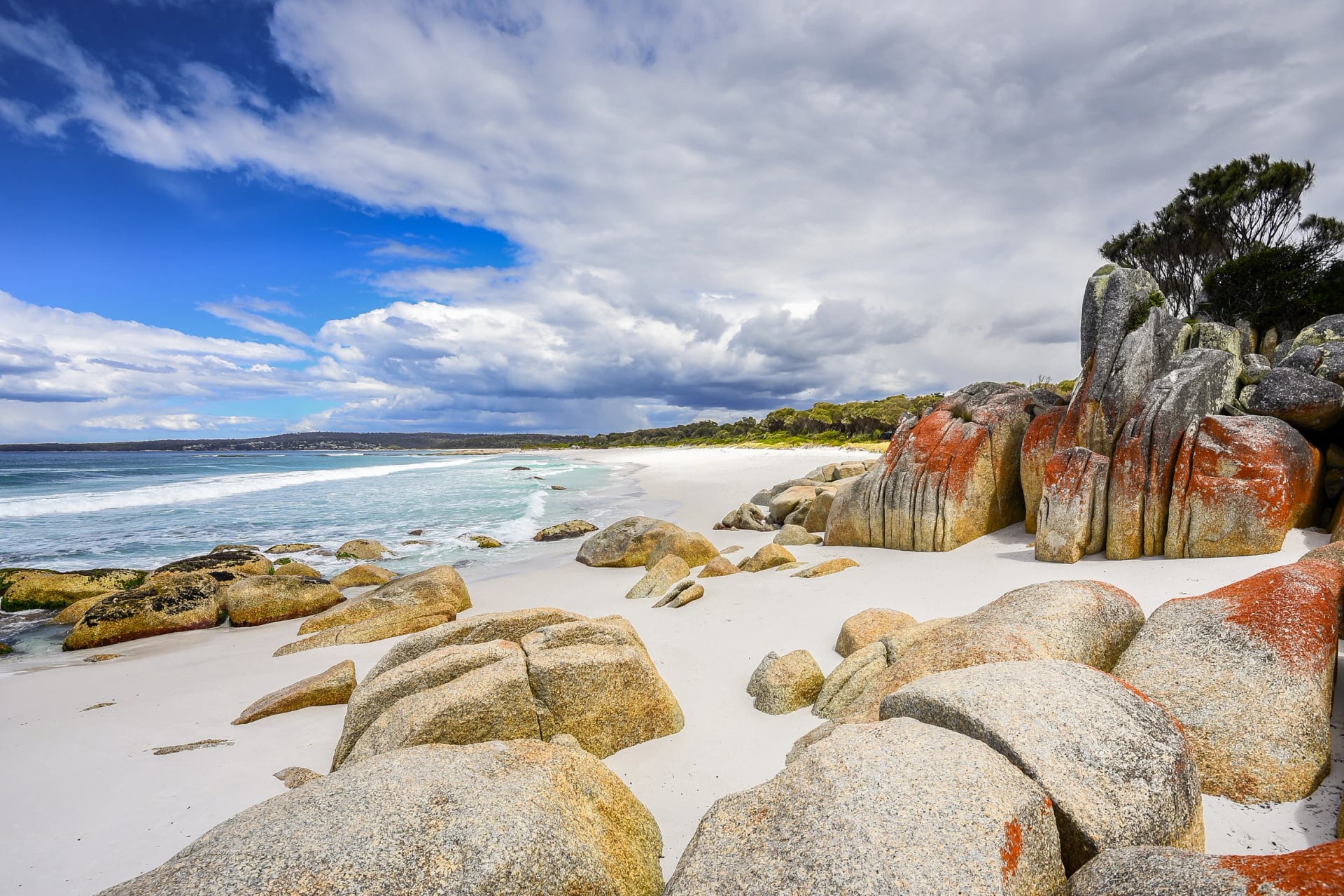
Multi-Day Hikes in Australia: Red Ranges and Whale Coasts
Red desert ridges in the dry winter, whale coasts in spring: the multi-day hikes Australia does best, and where you sleep on each, tent, hut or bed.
Quick links
Don't want to read all this?
We've planned 2,000+ hiking trips. Send your dates, fitness and group size — we'll map the route and book every night.



Australia's long walks come in three kinds. Most of the famous trails, the Larapinta and the Bibbulmun among them, mean carrying a tent and several days of food. Tasmania's best-known tracks add huts. And a handful of southern coasts and ranges can be walked between real beds, with a shower at the end of each day.
Two things shape any plan. The seasons run in opposite directions: the desert ranges and tropical gorges of the north are walked in the southern winter, while the south is at its best in spring and autumn. And the busiest tracks cap walker numbers, opening their bookings on a set day each year. We arrange walks on the southern coasts and ranges, so those get the most detail here. For the rest, you'll find what you need to plan them yourself.
How It Works
Australians call it bushwalking, and a marked path is usually a track rather than a trail. Each state runs its own national parks, with its own passes, booking website and rules, so a Tasmanian parks pass is no use in Victoria. We name the agency for each walk below.
Most long walks are one-way, and their two ends can be hours apart by road. Public transport rarely reaches a trailhead, so sort out the ride at each end first, before you book anything else. The walks we arrange are built around that problem: drivers, shuttles, coaches and trains cover every transfer, and you never hire a car.
Then decide where you want to sleep, because the bed, more than the distance, decides what you carry. On most long trails it is a tent at a campsite. A few tracks add huts. On ours, the bed is in a town and your pack holds only what the day needs.
The walks sit thousands of kilometres apart, so plan one region per trip rather than one long list. See it on the map:
The Coast Walks
The south and south-west coasts give Australia its best walking between beds: cliffs and surf beaches with towns close enough to sleep in.
Cape to Cape Track
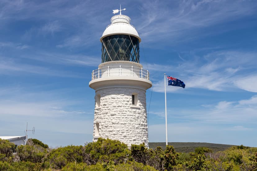
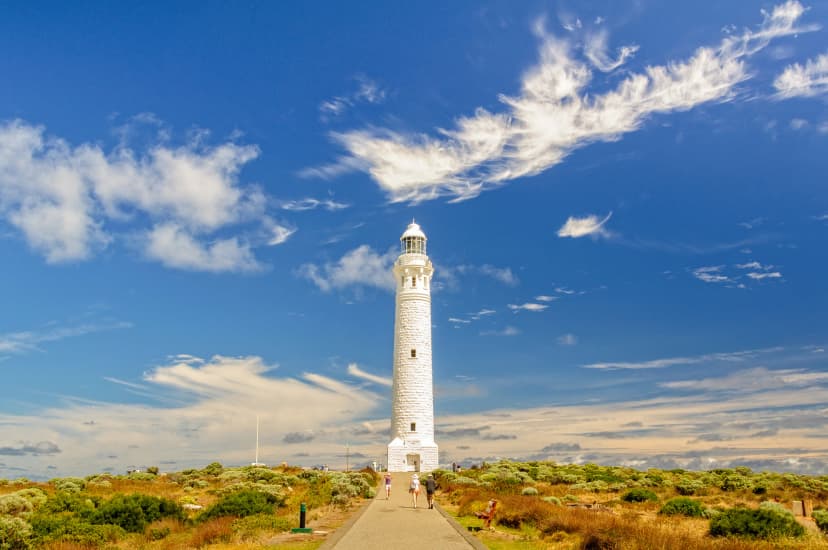
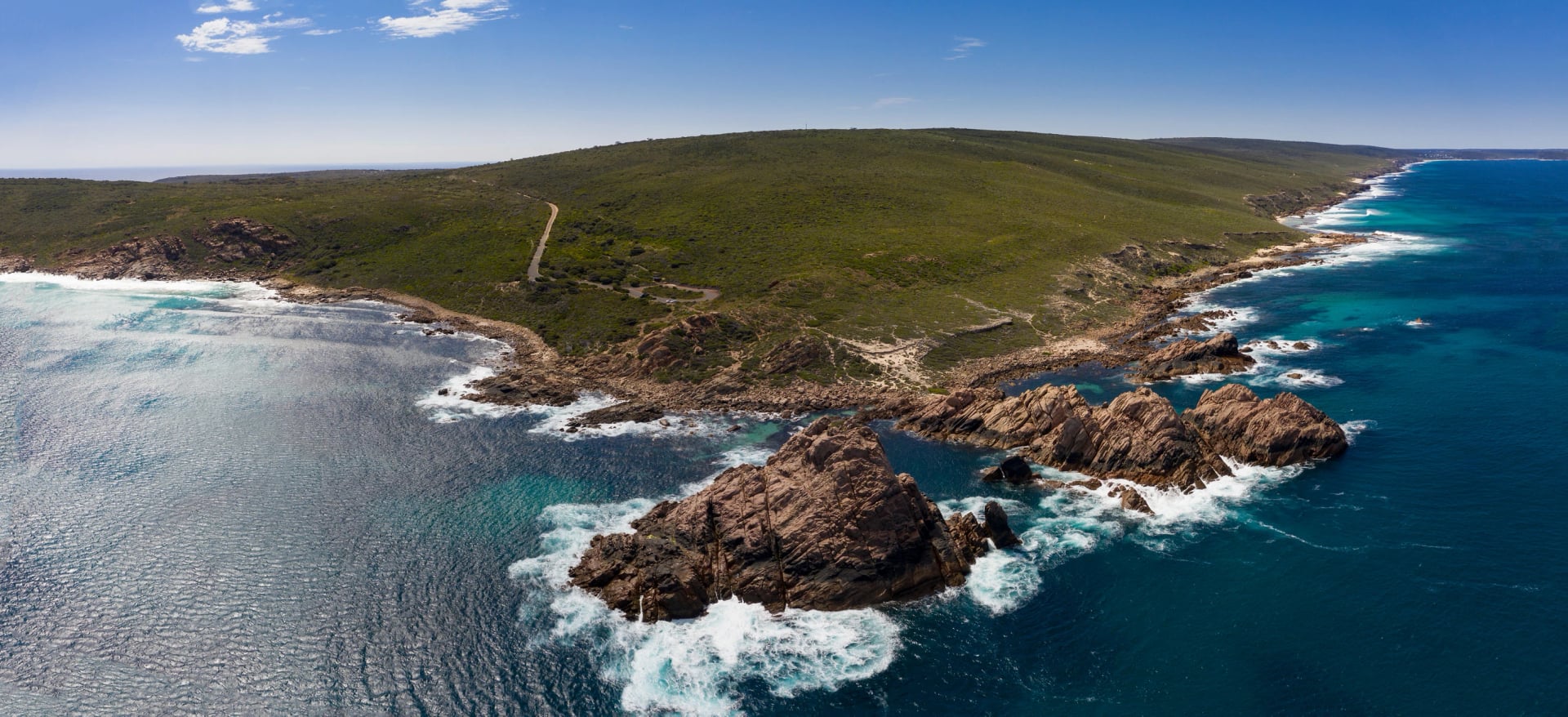
In Western Australia's far south-west, the Cape to Cape Track links two lighthouses across Leeuwin-Naturaliste National Park, the Country of the Wadandi people. The northern days keep to the cliff tops, with surf breaking on the reefs below and nothing but open ocean to the west. Further south the coast turns wilder. Granite gives way to limestone, river mouths cut through the beaches, and one long day leaves the sea for the forest before the track drops back onto the sand.
At a glance | |
Length | about 125 km (Friends of the Cape to Cape Track) or 130 km (WA Parks and Wildlife) |
Usual time on the track | 5 to 7 days, one way |
Where walkers sleep | basic track campsites, free and first come; national park campgrounds booked online |
Permit or fee | none; entry to the park is free |
Start and finish | Cape Naturaliste lighthouse › Cape Leeuwin lighthouse |
Most people walk north to south, with the sun at their backs and the wilder half still to come, and dolphins can turn up in any month. Halfway down, the track meets the Margaret River where it runs into the sea, and the river mouth decides one day's route: you can wade it for most of the year, but in some winters WA Parks and Wildlife sends walkers inland to cross by the bridge. No public transport reaches the track, and several days end at a car park far from any town, which is why walking it from beds means having a driver.
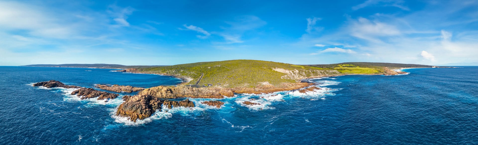
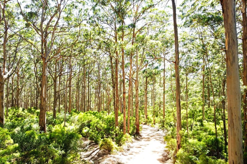
Leave time for the two lighthouses that bookend the track, and for the karri forest between them:
Walk it in spring or autumn for mild days on the cliffs. We'd take it from two bases instead of a tent: a local driver meets you at both ends of every day, the rooms are sorted before you land, and your guidebook tells you how to handle the river mouth on the day. See the tour:
Great Ocean Walk
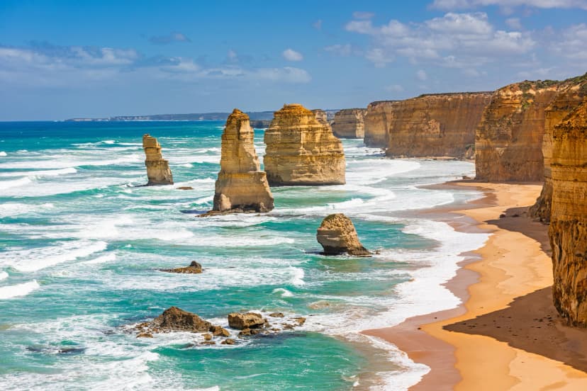
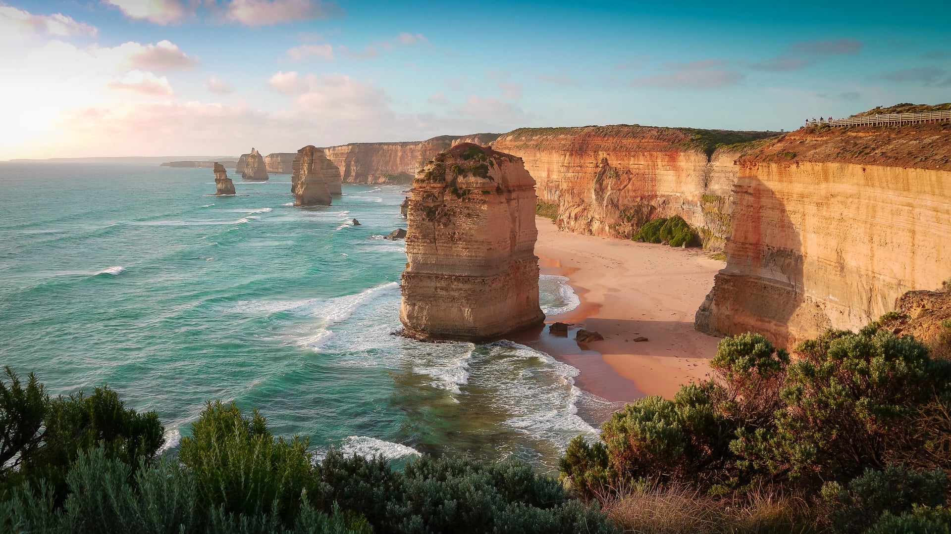
Victoria's Great Ocean Walk links Apollo Bay with the Twelve Apostles, keeping to cliff tops and beaches in Port Campbell and Great Otway national parks, where the Great Ocean Road never goes. The first days follow a quieter shore under the forested Otway hills as far as the lighthouse at Cape Otway. West of the cape the coast opens up into long surf beaches and high cliffs, with river crossings and timber stairs in between. Parks Victoria asks that everyone walks it one way, towards the Apostles.
At a glance | |
Length | just over 100 km to about 110 km, depending on the Parks Victoria document |
Usual time on the track | 8 days, one way |
Where walkers sleep | seven hike-in campgrounds with eight tent sites each |
Permit or fee | campsites booked ahead, AUD 19.60 per tent per night in 2026–27 |
Start and finish | Apollo Bay › Twelve Apostles |
The tide sets the timetable. Several beaches sit below cliffs, and Wreck Beach at Moonlight Head is cliff-locked, so Parks Victoria advises crossing it only at low tide, using the Port Campbell tide times. Campsites open for booking 12 months ahead.
Time your days around these three; two of them only work on the right tide:
Four beaches on this coast are walked to the tide, and working out each day's start time is the fiddly part. We work out every start time from the tide tables, book the cabins and cottages along a coast with no beds on the trail, and run the shuttles in between. Walk the whole coast from Apollo Bay, or start at Cape Otway for the wilder western half. Explore both:
One more coast walk is worth knowing in Victoria: the Southern Circuit on Wilsons Promontory, a three-day loop from Telegraph Saddle with camps at Sealers Cove and Little Waterloo Bay. Overnight walkers must book with Parks Victoria and carry the booking.
The Mountain Walks
Away from the sea, two sandstone ranges give the south-east its mountain walking, one in Victoria's west and one at the edge of Sydney.
The Grampians
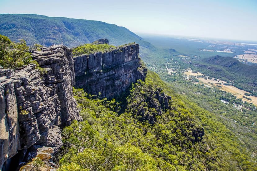
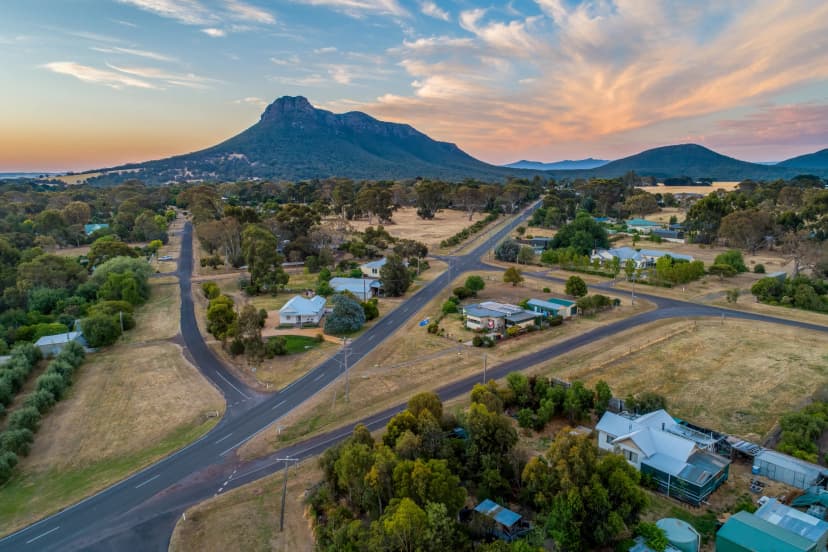
Gariwerd's ranges hold a third of Victoria's native plants, and more than 130 kinds of orchid have been recorded in the park. The Grampians Peaks Trail strings their summits together from Mount Zero in the north to Dunkeld in the south. Most days climb onto a new ridge, on rock stairs and sloping sandstone slabs, and the big tops along the way include Mount Stapylton, Mount William, the highest in the park, and Mount Abrupt near the end.
At a glance | |
Length | 160 km (164 km on some Parks Victoria pages) |
Usual time on the track | 13 days, north to south |
Where walkers sleep | 11 hike-in campgrounds, plus one night in Halls Gap |
Permit or fee | no fee to walk; campsites booked ahead, AUD 54.90 per site per night in 2026–27 |
Start and finish | Mount Zero › Dunkeld |
Parks Victoria opened the trail in November 2021 and reopened it end to end in March 2026, after the 2024–25 fires closed parts of it. Some short walks in the park are still shut, The Fortress among them, and Mackenzie Falls is closed for building work until the end of 2026. The campgrounds have tent pads, toilets and rainwater tanks, and no campfires are allowed. The two hiker huts are kept for licensed operators, at Gar and Werdug on the northern peaks.
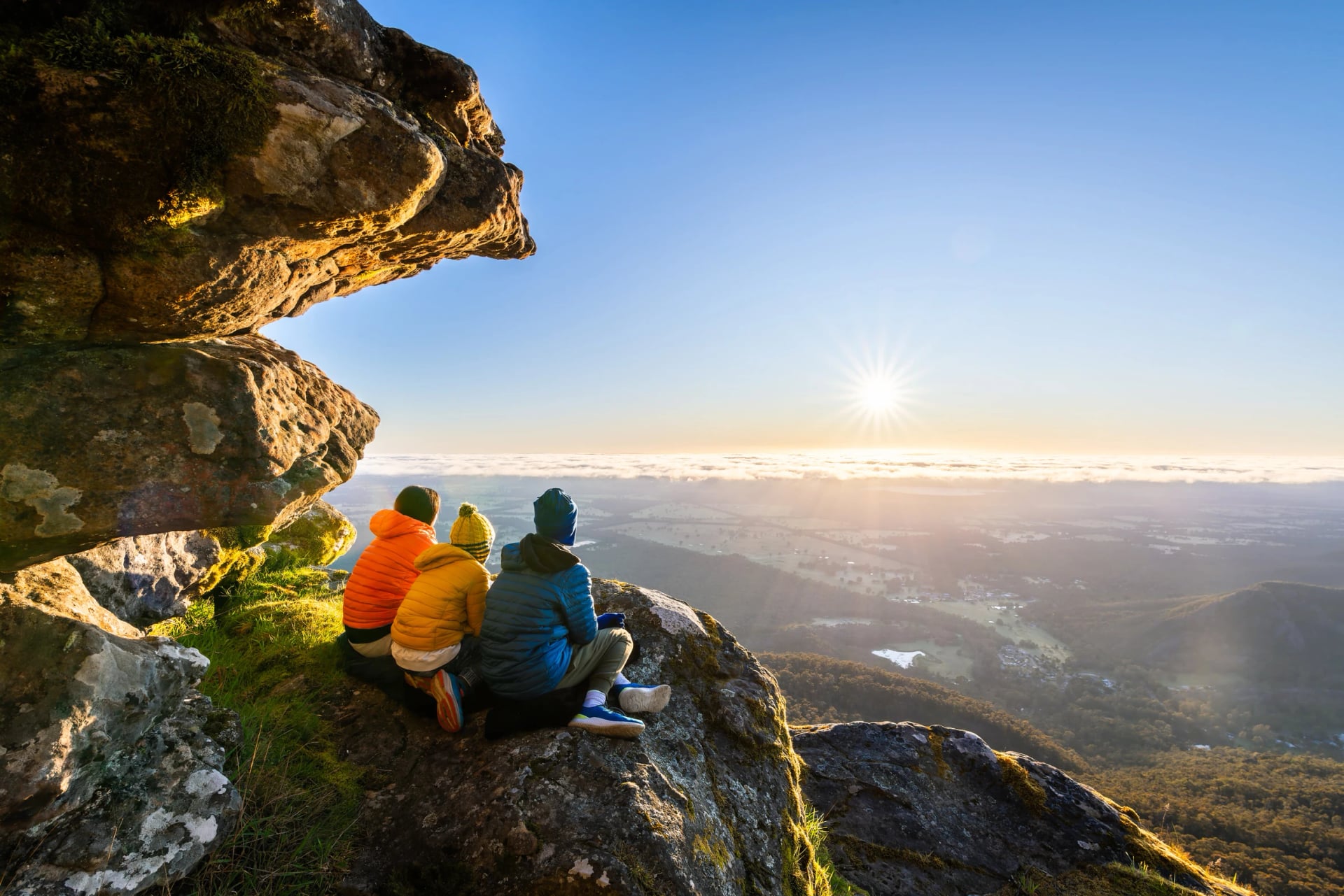
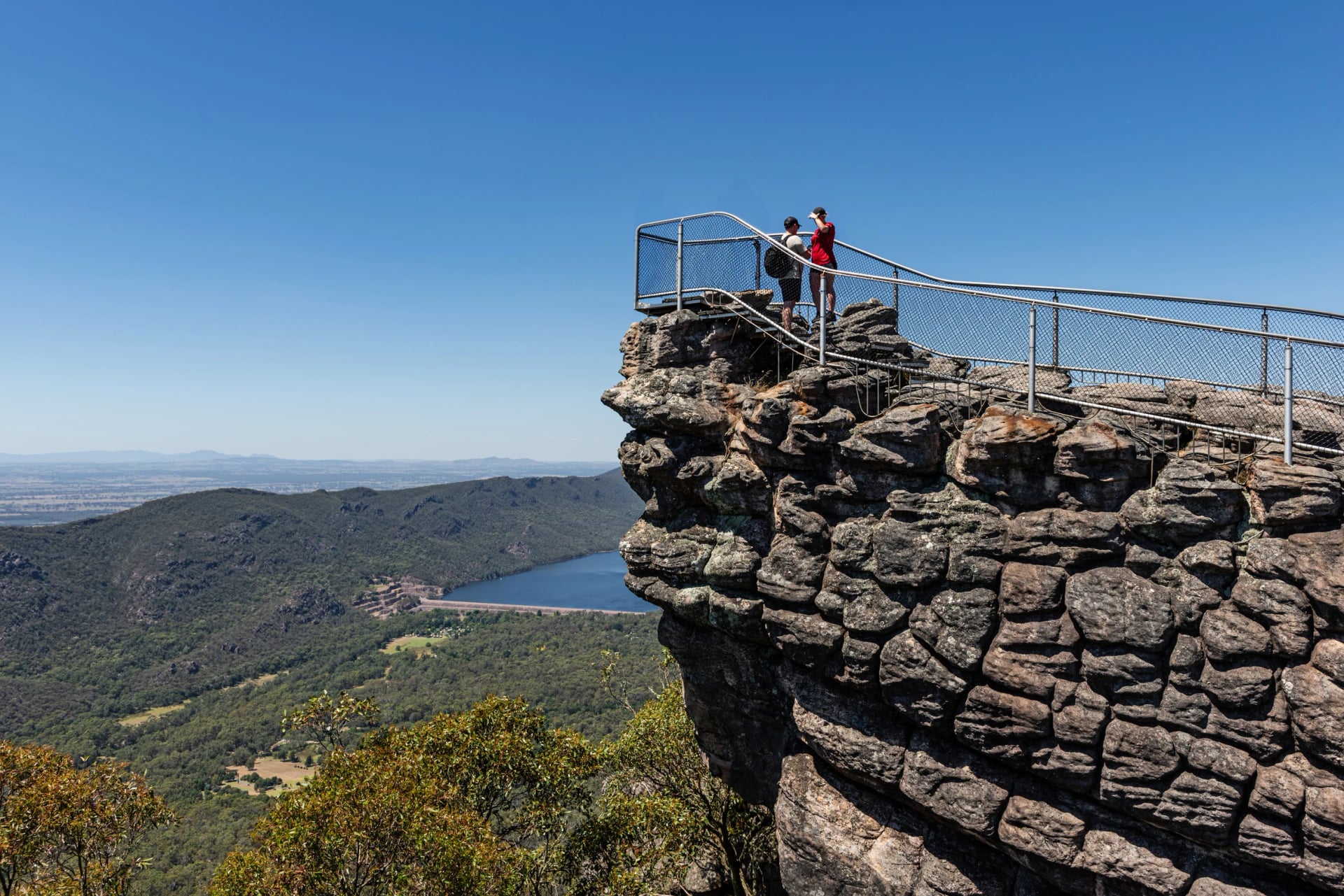
If you only have legs for a few summits, make it these two peaks near Halls Gap, and finish where the trail does:
Eleven nights in a tent is a lot to ask on a first visit. We'd take you over the Pinnacle, Mount Rosea and Mount Sturgeon instead, as day walks out of Halls Gap and Dunkeld, with train, coach, rooms and drivers booked in advance. You bring the legs for one good climb a day. Take a look:
The Blue Mountains
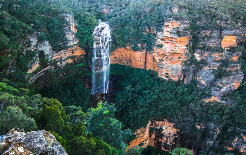
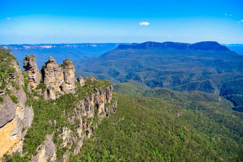
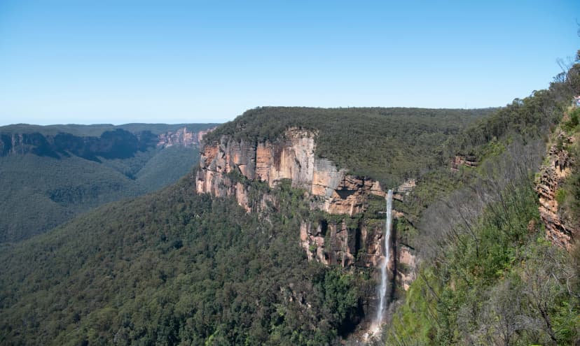
The Blue Mountains are a sandstone plateau cut through by deep valleys, and the walking here follows the cliff edge, then drops into the gorges on stairways and old tracks. The classic multi-day walk is the Six Foot Track, an 1884 horse track from Katoomba. It leaves the plateau for the Megalong Valley, crosses the Coxs River on a 100-metre swing bridge and climbs over the Black Range towards Jenolan Caves, with nights in bush campgrounds.
At a glance | |
Length | 42 km (NSW National Parks) or 45 km (Crown Lands) |
Usual time on the track | 3 days, one way |
Where walkers sleep | tent, at campgrounds such as Old Ford Reserve, Coxs River and Black Range |
Permit or fee | none for individual walkers |
Start and finish | Explorers Tree, Katoomba › Jenolan Caves |
Before you plan it, check the end. Jenolan Karst Conservation Reserve is closed until 31 December 2026 for repairs, so the track now stops at Binda Bush Cabins, where NSW National Parks says no public transport runs (alert reviewed 12 October 2026). The Jenolan Caves site talks of reopening in early 2027. If you walk it anyway, come in November or early December, when the critically endangered Megalong Valley bottlebrush flowers beside the track.
Build a day around each of these three views, all within reach of the train line:
For a first walk in Australia, this is where we'd send you. The train from Sydney does the transfers and we do the rest: rooms in two mountain villages, Scenic World booked for one of the days, and a backup route ready for each day in case a track shuts after rain. Have a look:
Tasmania
Tasmania could fill a whole trip, and it has a guide of its own: our guide to Tasmania hikes goes through every track. Here is the short version.
Overland Track
Tasmania's alpine classic runs through Cradle Mountain–Lake St Clair National Park, and almost half the track lies above 1,000 m. It sets off from Ronny Creek, under the peaks of Cradle Mountain, and heads south through alpine meadows, then down into glacial valleys, old rainforest and buttongrass plains. Hut follows hut a day's walk apart. Side trips lead to waterfalls, up Barn Bluff and onto Mount Ossa, and the last day ends on the shore of Lake St Clair, where most walkers take the ferry out.
At a glance | |
Length | 65 km, one way, north to south |
Usual time on the track | 6 days |
Where walkers sleep | huts and tent platforms; everyone carries a tent |
Permit or fee | booking from October to May, AUD 312 per adult |
Start and finish | Ronny Creek, Cradle Mountain › Narcissus Hut, Lake St Clair |
The weather is the thing to respect. Parks Tasmania warns that cold, wet and windy weather can hit in any month, summer included, and the track has no phone reception. Keep a spare day for the summit side trips, which are for clear weather only:
Three Capes Track
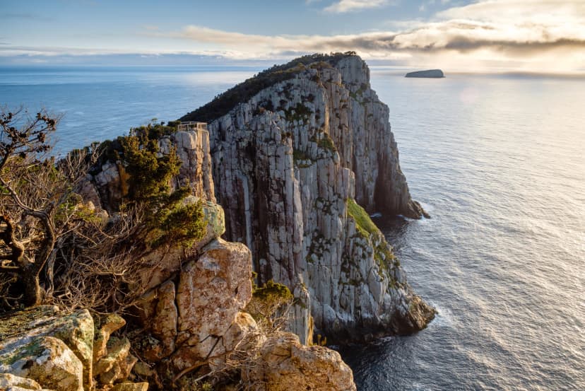
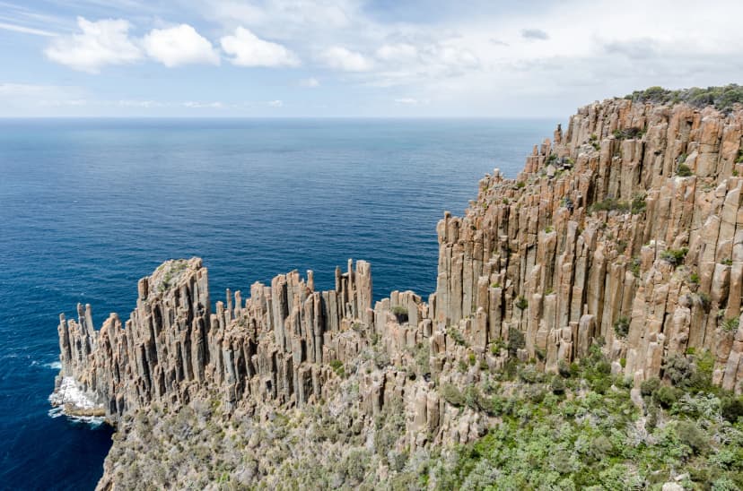
Parks Tasmania's hut walk starts on the water, with a cruise round to Denmans Cove, and ends four days later at Fortescue Bay. In between it runs along sea cliffs that Parks Tasmania ranks as the Southern Hemisphere's tallest, out to the narrow tip of Cape Pillar and, on the last day, to Cape Hauy, with three nights in cabins on the way.
At a glance | |
Length | 48 km, one way |
Usual time on the track | 4 days, 3 nights |
Where walkers sleep | three cabins with shared bunk rooms and heated dining rooms |
Permit or fee | booking essential, AUD 650 per adult |
Start and finish | Port Arthur, by boat › Fortescue Bay |
The same cliffs can be walked as day walks from a room in Port Arthur. Two capes deserve a full day each, and only one of them is on the hut walk:
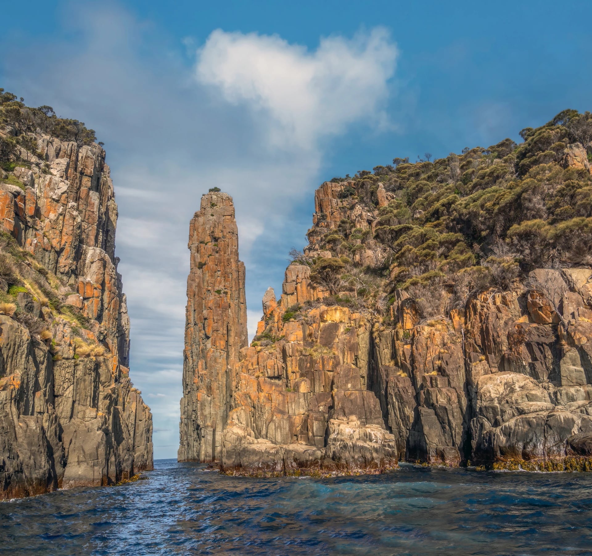
If a shared bunk room doesn't appeal, that is how we'd do it. We book you a private room for every night, send a driver to each morning's trailhead, and reserve the boat that takes you under the cliffs of Cape Pillar. See it here:
The East Coast
Further north, three east-coast walks sit close together and feel nothing alike. Maria Island keeps out cars, and its tracks climb from the old convict town at Darlington to Bishop and Clerk's summit. Freycinet is granite walking, up and over the range from Coles Bay to beaches no road reaches. Around St Helens it is mostly sand, one beach after another between rocky headlands. Freycinet's full peninsula circuit means 27 km and two or three nights of camping, but its best stretch fits into a single day.
Put these three at the top of your list on this coast:
Doing this coast on your own means fitting the Maria Island ferry, the water taxi at Freycinet and the coach timetables together, and on Maria Island there is little slack between the last boat back and the coach north. We line it all up, book a room in each town and keep a fallback ready should a boat be late. Explore the tour:
The Red Centre and Top End
Larapinta Trail
West of Alice Springs, the Larapinta Trail rides the crest of the West MacDonnell Ranges, which the Arrernte call Tjoritja. Days alternate between long climbs onto exposed ridges, with views along the range in both directions, and descents into gaps and gorges where water lies in the shade of the rock walls. Some of the rock underfoot is more than two billion years old. Near the western end the trail crosses the headwaters of the Finke, one of the world's oldest rivers, as NT Parks puts it, and it finishes with a return climb from Redbank Gorge to the top of Mount Sonder, the highest point on the trail.
At a glance | |
Length | 231 km, in 12 sections of one or two days |
Usual time on the track | about 20 days end to end; most people walk a few sections |
Where walkers sleep | tent, at designated campgrounds |
Permit or fee | campsites booked and paid online before you go, plus a walking fee of AUD 25 per night (capped at AUD 125) and an NT Parks Visitor Pass |
Start and finish | Alice Springs Telegraph Station › Mount Sonder |
We don't arrange the Larapinta, so here is what matters when you plan it. Section 9 has no reliable water along its 28.9 km, from Serpentine Chalet Dam to Ormiston Gorge, and NT Parks tells walkers to carry two days' supply. The resort at Glen Helen is closed until further notice, according to the NT Parks conditions page on 14 October 2026. Never walk it alone, and carry a satellite phone or a personal locator beacon, because mobile phones don't work out there.
Expect to wade or swim the pools in Hugh Gorge on section 5. The reward is camps like Brinkley Bluff, which NT Parks recommends for the sunrise. Many walkers start at the western end and finish in Alice Springs, which saves racing a transfer pick-up at Redbank Gorge. Either way, book the transfer before the campsites. NT Parks has the section notes and booking links.
Even if you only walk a section or two, plan it to take in one of these three:
Jatbula Trail
Up in the Top End, the Jatbula Trail runs 62 km along the edge of the Arnhem Land escarpment, from Nitmiluk Gorge to Leliyn (Edith Falls). It is named after Peter Jatbula, a Jawoyn Traditional Owner who helped win back land rights for his people.
It is a walk from water to water. A ferry takes you across the gorge to the start, and the first stop is Northern Rockhole, a seasonal waterfall 4 km along. From there each camp sits beside a cascade or a pool, at Biddlecombe Cascades, Crystal Falls, 17 Mile Falls and Sweetwater Pool, with the track following the escarpment in between, and the last morning brings you down to Leliyn.
At a glance | |
Length | 62 km, one way |
Usual time on the track | 5 or 6 days |
Where walkers sleep | tent, at campsites by springs and cascades, one night each |
Permit or fee | permit booked from early February (3 February for 2026); the same NT walking fee as the Larapinta, plus AUD 25 for the ferry |
Start and finish | Nitmiluk Gorge, by ferry › Leliyn (Edith Falls) |
No more than 15 walkers start each day, because each camp takes 15 people. Before you set off there is a safety briefing (for the 7 am ferry, the 3 pm one the day before), and on the way you leave the rock art untouched. Carry at least three litres when you leave camp and treat the water, and take a satellite phone or a beacon: there is no mobile signal, and medical help usually comes by helicopter, at your own cost.
Give yourself a spare day at either end for these two:
The Long Trails
Three trails in the south run for hundreds of kilometres. Almost nobody walks them in one go: most people take a weekend or a week at a time and come back for the next piece.
Bibbulmun Track
The Bibbulmun runs from Kalamunda, in the hills outside Perth, to Albany on the south coast. Most of the walking is under trees, through karri and tingle forest, past granite boulders and across coastal heath, with towns spaced along the way for a bed, a meal and a resupply. In the south the track reaches the sea and crosses a string of inlets, and at Irwin Inlet canoes wait for walkers to paddle across. It is marked with yellow triangles bearing the Waugal, the rainbow serpent of Noongar Dreaming, and it opened in 1979, for Western Australia's 150th year.
At a glance | |
Length | 1,000 km, in nine sections between towns |
Usual time on the track | 6 to 8 weeks end to end |
Where walkers sleep | 49 campsites a day apart, each with a three-sided shelter for 8 to 24 people |
Permit or fee | none to book: shelters are first come, so carry a tent |
Start and finish | Kalamunda › Albany |
Between towns, some stretches go four days without a road, so you carry food for the gap. The rainwater tanks can run low, and the Bibbulmun Track Foundation posts diversions and inlet crossings section by section, sometimes daily.
Plan your sections to take in these three, a forest town and two of the south-west's great trees:
Heysen Trail
South Australia's long trail runs from Cape Jervis to Parachilna Gorge. It starts on the cliffs of the Fleurieu Peninsula, crosses the Mount Lofty Ranges in the hills behind Adelaide, wanders through farmland, forest and the Barossa vineyards, and finishes among the red ranges of the Flinders. It is named after the painter Sir Hans Heysen, and it took from 1976 to 1993 to build. Walkers sleep in old stone huts, simple shelters and campsites, many on private farmland.
At a glance | |
Length | 1,200 km |
Usual time on the track | about 60 days end to end |
Where walkers sleep | huts, shelters and campsites; most can't be booked, so carry a tent |
Permit or fee | none for the Friends' huts and campsites; national park sites are booked and paid |
Start and finish | Cape Jervis › Parachilna Gorge |
The fact that changes your plans: the Heysen Trail closes in the fire danger season. For 2026–27 the Flinders section shuts from 15 October to 15 April, and the southern sections usually close between November and April. Check the Friends of the Heysen Trail before you go.
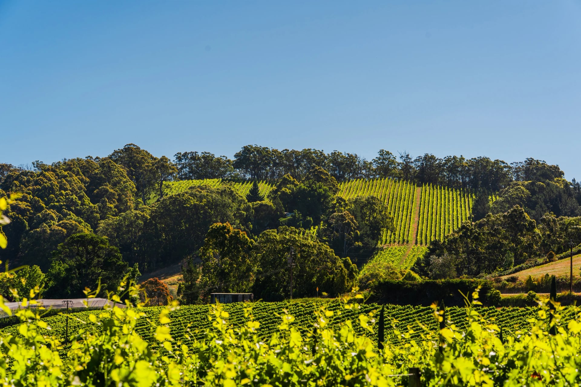
For a first section, start near one of these three:
Australian Alps Walking Track
The longest of the three runs through the high country of Victoria, New South Wales and the ACT, along ridges and over high plains far from any town. It begins at Walhalla, climbs onto the Baw Baw Plateau, crosses the Bogong High Plains and the Kosciuszko high country, and ends in Namadgi National Park, near Canberra. Parts of it are unmarked wilderness where you navigate by map and GPS, and snow can cover long stretches in winter and spring.
At a glance | |
Length | 650 km |
Usual time on the track | about ten weeks end to end; most people walk one section |
Where walkers sleep | tent; large areas allow fuel stoves only |
Permit or fee | camping and fire permits for parts of Namadgi National Park |
Start and finish | Walhalla › Canberra |
To taste the Alps without the full ten weeks, walk out to one of these:
Island Walks
Three islands have long walks worth crossing the water for, and two of them cap walkers each day.
Thorsborne Trail
Hinchinbrook Island, off the north Queensland coast, has a 32 km trail down its east side from Ramsay Bay to George Point: sandy bays, creek crossings, patches of rainforest and a climb to a 260 m saddle above Zoe Bay, the highest point on the trail. Its Traditional Owners, the Bandjin and Girramay peoples, call it Munamudanamy.
At a glance | |
Length | 32 km, either direction |
Usual time on the track | at least 4 days and 3 nights |
Where walkers sleep | tent, at seven camping areas, two nights at most in each |
Permit or fee | camping permit; 12 independent walkers a day, in groups of up to six |
Start and finish | Ramsay Bay › George Point, by boat from Cardwell or Lucinda |
The best months book out as soon as permits are released. Carry about four litres of water a day, because the creeks run low in the dry season. Estuarine crocodiles live in the creeks and along the coast, and the tide range reaches four metres, so Mulligan Creek is crossed at low to half tide.
Get to know the island before you go, and keep an afternoon for its best swimming hole:
K'gari Great Walk
K'gari, formerly Fraser Island, is the world's largest sand island, and its Great Walk crosses the interior from Dilli Village to Happy Valley. The track runs through tall forest growing straight out of the sand and links freshwater lakes perched in the dunes, among them Lake Boomanjin, which Queensland Parks calls the largest perched lake in the world. North of Lake Wabby the walk turns remote, with longer gaps between camps and fewer facilities.
At a glance | |
Length | 90 km |
Usual time on the track | 6 to 8 days |
Where walkers sleep | pre-booked walkers' camps with toilets and food boxes |
Permit or fee | camping permits before you go, plus a vehicle access permit to drive on the island |
Start and finish | Dilli Village › Happy Valley |
The walk is in dingo country. Queensland Parks asks you never to walk alone here, to keep at least 20 metres from wongari (dingoes) and to store all food in the boxes at each camp. Fines for feeding dingoes run into thousands. Reaching the start takes a vehicle barge and, usually, a four-wheel drive.
Time your stages so you reach these three in daylight:
Kangaroo Island Wilderness Trail
This trail crosses the wild south-west of Kangaroo Island, from Flinders Chase National Park to Kelly Hill Conservation Park. It follows the Rocky River towards the coast, runs along the cliffs past Cape du Couedic, then turns east along beaches and past lagoons to the limestone country of Kelly Hill. National Parks SA calls the area the most botanically unique in South Australia, and from the cliffs there is nothing but the Southern Ocean between you and Antarctica.
At a glance | |
Length | 61 or 66 km, depending on the National Parks SA page |
Usual time on the track | 5 days |
Where walkers sleep | four campgrounds with tent platforms, a cooking shelter and filtered rainwater |
Permit or fee | compulsory booking, AUD 220 per adult, park entry included; 12 independent walkers a day |
Start and finish | Flinders Chase Visitor Centre › Kelly Hill Conservation Park |
The 2019–20 bushfires destroyed the park's facilities. In places blackened branches still dominate the view, with green growth coming back underneath.
Start early on the cliff days: the first two are side trips that take time, and the third is where the trail ends:
Huts, Tents or a Bed?
Choose the bed before the trail. It decides how heavy your pack is, what the trip costs and how far ahead you have to book, so compare the four kinds of night first:
The public huts on the Overland Track are simple: bunks without mattresses, a rainwater tank, a composting toilet and a shared space to cook, first come, first served. On the Heysen Trail, some nights are spent in old stone cottages with a sleeping platform and a fireplace.
Standard issue on the long trails: a typical site has a toilet, a rainwater tank and sometimes a roof to cook under, and you carry the tent, the stove and every meal. Most trails let you camp only at these official sites, not wherever you stop.
Treat the tank water: WA's parks agency says to boil it for at least a minute, filter it or use tablets.
Some of the comfort on the big trails is kept for licensed operators: on Kangaroo Island, guided groups sleep off the trail in private accommodation.
How our walks work. You sleep in a motel, guesthouse, cottage or small hotel near the track, with breakfast as standard.
A driver, a boat or the train links each day's walking to the bed, and your pack holds only the day's water, food and a warm layer.
Best Months by Walk
Walk | Best months | Avoid |
Larapinta Trail | April to September | summer, when it can pass 40 °C |
Jatbula Trail | June to September | October to March: no permits |
Thorsborne Trail | April to September | January and February: closed |
Kangaroo Island Wilderness Trail | March to November | Catastrophic fire days: park closed |
Bibbulmun Track | April to early November | December to early March |
Heysen Trail | May to October | the fire danger season |
Cape to Cape Track | March to May, September to November | December to February |
Great Ocean Walk | October and November, February to April | June to August: wind and big swells |
The Grampians | March to May, September to November | December to February |
The Blue Mountains | any month, winter included | no month, though summer is the wettest |
Australian Alps Walking Track | summer and autumn | winter and spring: snow |
Tasmania | October to April | June to September in the high country |
Australian seasons start on the first of the month: the Bureau of Meteorology counts summer as December to February and winter as June to August. The tropical north has only two seasons: a wet one from roughly October to April and a dry one from May to September, and every walk up there belongs in the dry.
How Many Days?
Start with the walk, then add the travel. The track times above count walking days only, and every walk here needs a day to reach the start and another to get home, because the trailheads sit hours from the airports.
A week covers one coast or one range without rushing. With ten days to two weeks you can pair two walks that share a city: the Great Ocean Walk and the Grampians both begin with a V/Line journey from Melbourne, and the two Tasmanian walks both start in Hobart. Joining the west coast to the east costs a day of flying, so give the Cape to Cape a trip of its own, or put it at the start of a long one.
On the long trails, plan by section rather than end to end. A week on the Bibbulmun or the Heysen is a complete trip in itself.
A Self-Guided Day
Mornings start with breakfast, which comes with every room on our walks. Then you set off one of three ways: in a driver's car, on foot straight from the hotel door, or by coach, ferry or train to the trailhead.
The walking is unguided, with the route in an app that works without phone signal, which matters, because coverage on the cliffs is patchy and in the ranges often gone. The guidebook marks the cafés, the water and the places to swim, and on the tidal coasts it gives each day's start time. Your main bag waits at the hotel and moves with you when you change towns.
The day ends at a car park, where the driver is waiting, or on foot in town. If something changes, a closed track or a storm, you ring us and we rework the plan.
Your First Multi-Day Walk
Our walks come first, ordered by their longest day, gentlest to toughest. The big trails follow, where a full pack makes every day harder.
The Grampians: about 13 km on the longest day, with one steep climb of around 500 m each day.
Tasmania's east coast: about 13 km on its hardest day, with a boulder scramble to the top of Bishop and Clerk.
The Blue Mountains: up to 15 km, with long stone stairways down into the valleys and back up.
The Tasman Peninsula: about 17 km on its coastal day, over steep, rough ground.
The Great Ocean Walk: up to about 19 km, with the longest and hilliest days at the end.
The Cape to Cape Track: about 25 km on its longest day, with soft sand further south.
The Three Capes Track: 19 km and about 650 m of climbing on day three, with a full pack.
The Overland Track and the Jatbula: shorter stages, but alpine weather on one and about 30 °C by day on the other.
The Larapinta: sections of up to 28.9 km, carrying everything, including two days of water on section 9.
Wildlife on the Way
Keep a pair of binoculars in your day pack. These are the animals walkers on the mainland talk about afterwards:
Between May and December, humpbacks pass close to shore along the Cape to Cape Track, with southern right whales among them.
Fun fact: they spend the summer feeding on krill in Antarctic waters, then swim north each winter to breed, and the males sing as they go.
Look up into the trees around Cape Otway, on Victoria's coast, and you may well find one asleep in a fork of the branches.
Fun fact: a koala lives on little but eucalypt leaves, which are high in fibre and water, so it spends most of its life up a tree, sleeping or eating.
Australia's largest bird of prey, with wings up to 2.3 metres across, rides the thermals off the Grampians ridges. Fun fact: its legs are feathered right down to the toes.
Listen in the rainforest below the Blue Mountains cliffs: a lyrebird is far easier to hear than to see. About 80 per cent of its song is borrowed, including:
other birds
dogs barking
car engines and chainsaws
Fun fact: the echidna is one of the world's few egg-laying mammals. It lays a single egg, which hatches after about ten days.
You can meet one on Kangaroo Island and almost anywhere else, nose down in an ant nest.
Getting to the Trailheads
Fly into the city nearest your walk (Skyscanner compares the domestic airlines), then go on by coach, train or transfer:
Cape to Cape Track: Perth, then a Transwa coach to the south-west towns. The flight from Sydney takes about five hours.
Great Ocean Walk: Melbourne, then four hours to Apollo Bay by V/Line, train first and coach after.
The Grampians: Melbourne, then V/Line to Halls Gap, a train and then a coach.
The Blue Mountains: Sydney, then the train from Central, about two hours. Tap on and off with a contactless bank card (Transport NSW).
Tasmania: Hobart or Launceston. There are no passenger trains on the island, so coaches and transfers do the work.
Larapinta Trail: Alice Springs, 3 hours 20 minutes from Sydney, then a trailhead transfer.
Jatbula Trail: Darwin, then on to Nitmiluk Gorge near Katherine.
Bibbulmun Track: Perth for the northern end, Albany for the southern; Transwa coaches stop in some of the towns between.
On the Kangaroo Island Wilderness Trail, book the bus from Kelly Hill back to Flinders Chase when you book the walk.
How to Book
Booking a long walk in Australia yourself is a small project of its own. The popular tracks open their season on a set day and the best dates go quickly, every night of the walk has to line up, and the ride to the trailhead and back is a separate job again.
None of it is hard, but it takes a few evenings and a plan B for your dates. If you're doing it yourself, work through it in this order:
Pick the walk, then two sets of dates. Check the season table above, and keep a backup in case your first choice is full.
Find the right booking site. Every walk above names its land manager, and that is where the booking counts.
Be online on opening day. The Overland Track and the Jatbula each open a season's bookings on one set day, months ahead, and neither keeps a waitlist.
Check every night, not just the first. Campsites, huts and the beds at each end run on separate calendars, and one full night can undo the whole plan.
Book the transport on its own. Trailhead transfers, ferries and the trip home are separate bookings, and on a one-way walk the pick-up has to match the day you finish.
Buy the passes and register. Visitors from outside the Northern Territory need an NT Parks Visitor Pass, AUD 30 for two weeks, and Tasmania has its own. Sign the walker logbook at Tasmanian trailheads, or fill in the NSW online trip intention form.
Or skip all of it. Give us a call, and our agents match you with the walk that suits your dates and your legs, then book your rooms with the hotels and drivers we've chosen on these routes, along with every ticket you need.
Heat, Fire and Snakes
Fire danger is the risk most visitors underestimate. Since 1 September 2022, every state has used the same four ratings: Moderate, High, Extreme and Catastrophic. On a Catastrophic day, Victoria closes its parks and forests, and V/Line trains and coaches don't run through the affected districts. Western Australia may close trails at Extreme too. Total fire bans forbid open fires, and in NSW national parks even a portable gas stove is generally banned unless the park office agrees. Check VicEmergency, Fires Near Me in NSW, Emergency WA or TasALERT the evening before you walk.
Heat is the other one. WA's parks agency sets the minimum at one litre per person for every hour on the track, and asks walkers to keep to the cooler parts of the day.
Snakes: stop, back away slowly and let the snake leave. Most bites happen when people try to kill one or catch it. If someone is bitten, call 000 (112 if 000 doesn't connect on a mobile), keep them still and apply a pressure bandage (healthdirect, reviewed October 2024).
Sun: with the UV index at 3 or above, 15 minutes of unprotected skin is enough to start the damage, even on a cool, cloudy day.
Ticks and leeches: common along the east coast. Light-coloured long sleeves and repellent help; check your skin after walking.
No signal: the free Emergency+ app shows your GPS position to read out to the operator. On remote walks carry a personal locator beacon: NSW National Parks lends them free at its Heritage Centre in Blackheath.
Plan Your Walk With Us
The best walking days are the ones you didn't have to organise. On our self-guided walks that work is done before you land: the coast or range that suits your month, a bed near the track each night, and a driver, train or boat waiting at the end of the day.
Share your dates and how far you like to walk in a day, and our agents will suggest the walk that fits.
Rather talk it through first? Book a free video call.
Frequently Asked Questions



Plan with a travel expert
Free advice from a team that knows these routes inside out - real people, not a bot

HASSLE-FREE
We handle itineraries, accommodations, and anything else you prefer not to deal with, so you can enjoy a carefree hike.

BOOK WITH CONFIDENCE
We are a financially protected company, fully bonded and insured, keeping your money safe and allowing you to travel with confidence.

TRIED & TESTED ADVENTURES
We chose these walks for the scenery, then made sure each has a roof every night and needs no hire car.

HELP ON THE WALK
Plans changed, or something not as booked? Ring the support number in your guidebook. For police, fire or ambulance, call 000, even without credit.