Grampians Hikes and the Peaks Trail on One Map
Two hours to the Pinnacle, or 13 days from Mount Zero to Dunkeld? The Grampians Peaks Trail and the best Grampians hikes, every trailhead on one map.
Quick links
Don't want to read all this?
We've planned 2,000+ hiking trips. Send your dates, fitness and group size — we'll map the route and book every night.



The Grampians rise straight out of the sheep plains three hours west of Melbourne, and the numbers explain why walkers keep coming. The Grampians Peaks Trail runs 164 km over 13 days, and walks the whole range from Mount Zero down to Dunkeld. Mount William tops the ranges at 1,167 m. The park protects about a third of Victoria's plant species, with over 130 orchid species among them, and the oldest dated Aboriginal rock shelter in Gariwerd is 22,000 years old.
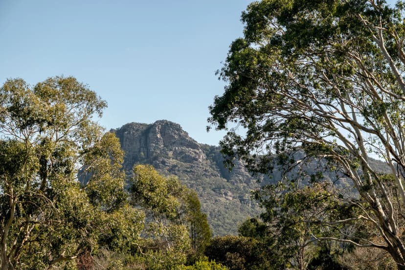
Most of it sits close to a bed. The Pinnacle lookout stands about 500 m above the rooftops of Halls Gap, kangaroos graze the town oval at dusk, and since March 2026 the whole trail is open again after the fires of 2024 and 2025. Experienced hikers come for the trail, with its grade 4 and 5 sections and 11 hike-in campgrounds. Everyone else comes for the summits, climbed in a morning from Halls Gap or Dunkeld. This guide takes the Peaks Trail first, then the hikes sorted by what you see. The Jardwadjali and Djab Wurrung peoples call the ranges Gariwerd, and Parks Victoria uses both names for many peaks: Mount Abrupt is also Mud-dadjug.
The Grampians Peaks Trail
The Grampians Peaks Trail follows the ranges from end to end. It sets off from Mount Zero (Mura Mura) in the north, crosses the summit of Gar (Mount Difficult), drops into Halls Gap, climbs over the highest peaks of the park and finishes in the farming town of Dunkeld. The full trail opened in November 2021, and Parks Victoria sells it as a 13-day, 12-night walk.
How long is it? Parks Victoria gives two lengths. Its main Grampians Peaks Trail page and its March 2026 reopening news say 164 km, while the summary box of the full-trail page, the trail FAQ and Visit Grampians say 160 km. Its own 13 day sections add up to 164 km, so that is the figure to plan with.
Before you set off | |
Start | Mount Zero Picnic Area (Mura Mura) |
Finish | Dunkeld |
Huts | Three, at Gar and Werdug, booked only through licensed tour operators |
Campfires | Banned; gas or liquid-fuel stoves only |
Dogs | Not allowed, not even left in a car |
Drones | Only with a permit |
The 2024–25 fires burned more than 135,000 hectares of the park. The last five central campgrounds reopened in March 2026, at Barri Yalug, Duwul, Durd Durd, Yarram and Wannon, so through-hikers can walk the whole trail again.
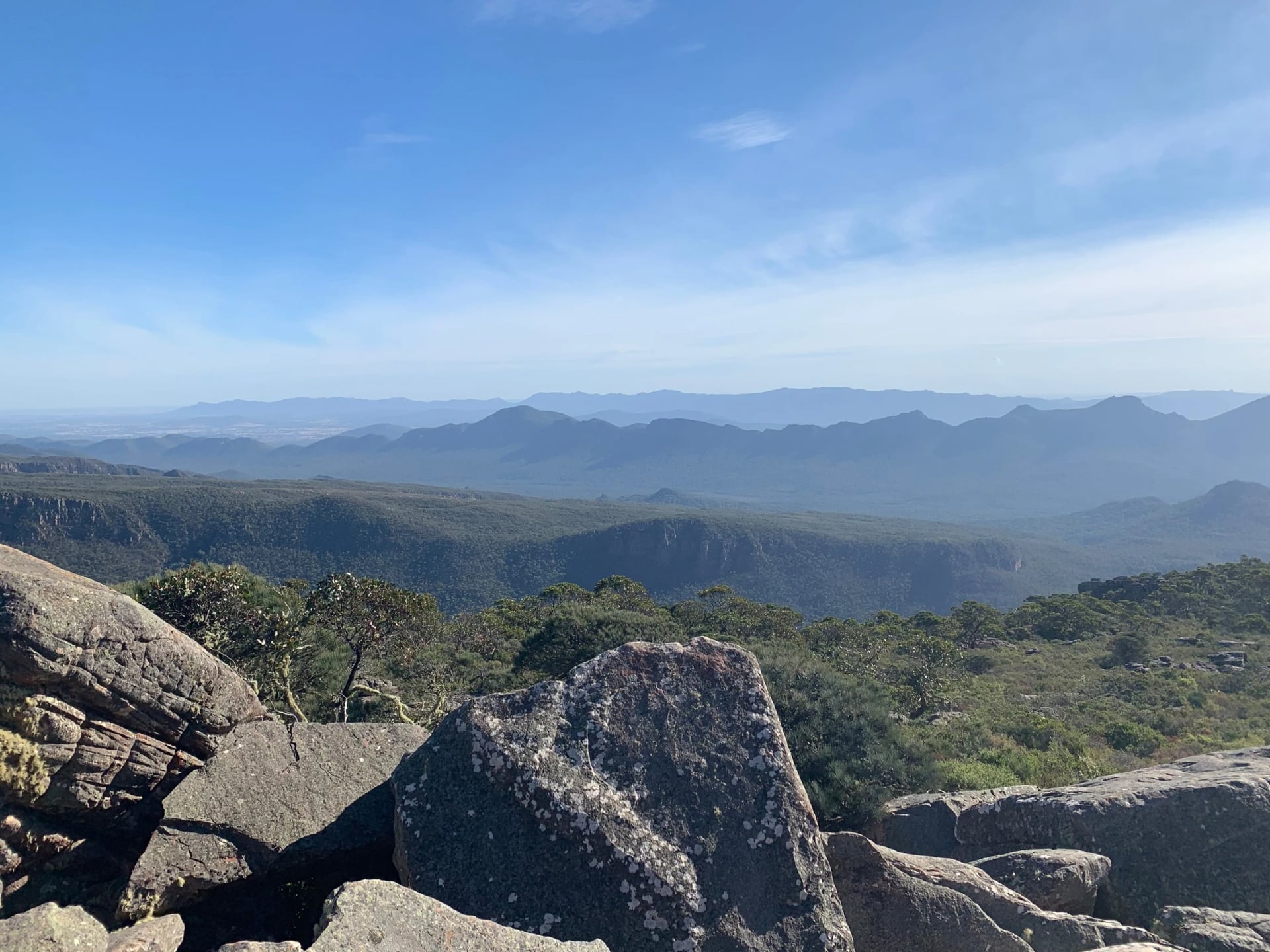
North, Central and South
Parks Victoria splits the trail into three parts and numbers each day on its topographic maps: N1 to N4, C1 to C5 and S1 to S4.
The north, Mount Zero to Halls Gap: four days and about 50 km of steep, grade 4 climbing. The trail passes below Hollow Mountain and Mount Stapylton, crosses Gar, then runs along the Mount Difficult Range to the Werdug campground. Plan your water here: no serviced tank between Werdug and Halls Gap. The only huts on the trail are in this section too.
The centre, Halls Gap to Yarram: five days, about 63 km, and the roughest ground on the trail, rated grade 5 on Parks Victoria's booking page. You climb past the Pinnacle and Mount Rosea, cross Redman Bluff, then summit Mount William (Duwul), the highest point in the park. A steep drop to Boundary Gap leads onto the Major Mitchell Plateau, where Parks Victoria warns the plateau can be about 8 °C colder than the valley floor.
The south, Yarram to Dunkeld: four days and about 50 km on gentler going, mostly grade 4 with easier stretches. Knolls, wetlands and grassland lead to the last two days: Signal Peak, Mount Abrupt, the Piccaninny and finally Mount Sturgeon (Wurgarri), straight above Dunkeld, where the trail ends.
The Official 3-Day Hikes
Most people walk a part of the trail, not all of it. Parks Victoria publishes five three-day hikes, each with two nights in hike-in campgrounds:
3-day hike | From and to | Length, grade |
Gar and Werdug | Roses Gap Road to Halls Gap | 34 km, grade 4 |
Bugiga and Barri Yalug | Halls Gap to Redman Road | 24.5 km, grade 4 |
Duwul and Durd Durd | Redman Road to Jimmy Creek Road | 32.6 km, grade 5 |
Yarram and Wannon | Jimmy Creek Campground to Griffin Fireline | 22.9 km, grade 4 |
Djardji-djawara and Mud-dadjug | Griffin trailhead to Dunkeld | 33.4 km, grade 4 |
Duwul and Durd Durd has the biggest climb of all: its first day starts by crossing Barney Creek at 320 m and tops out on Redman Bluff at 1,017 m. Gar and Werdug has the only huts, the Northern Peaks Experience, in eco huts that sleep up to four. Parks Victoria also lists overnight hikes with one night out, to ten of the campgrounds. The full five are on its 3-day hikes page.
One road note, dated 15 October 2026: Redman Road is closed east of the Redman trailhead after flood damage. The trailhead itself is still reached from Grampians Road.
Booking Campsites and Huts
Walking the trail costs nothing. Sleeping on it does: every hike-in campground must be booked before you set off on a multi-day hike, and each night is charged per tent pad. Parks Victoria takes bookings through its interactive map booker or by phone on 13 1963. The night in Halls Gap after day 4 is not on that system, so you arrange a bed or a campsite in town yourself.
On our self-guided walk there is nothing to book here: you sleep in town, and we arrange the nights.
Water and Phone Signal
Every tank on the trail holds untreated rainwater, and in a dry spell Parks Victoria cannot promise there will be any. Its trail guide says to carry 4 to 6 litres for each day, while its FAQ says 3 to 4; on hot days and long sections, take the higher figure and treat what you drink.
Phones work on the ridges, rarely in the valleys, and many parts of the park have no signal at all. Green emergency markers stand along the trail: in an emergency, call 000 and read the marker's code to the operator. Parks Victoria also recommends a personal locator beacon.
When to Hike the Grampians
Spring, September to November: wildflower season, when Parks Victoria recommends every section of the trail.
Autumn, March to May: the steadier season. Parks Victoria names April and May as the best walking months of autumn.
Summer, December to February: hot sandstone and the fire season. Parks Victoria advises against longer walks in January and February.
Winter, June to August: wet and cold up high, best avoided by inexperienced hikers. Snow is possible from May to October.
Average highs and lows, in °C, from Bureau of Meteorology stations in the valley and on top of Mount William:
Month | Valley (Stawell, 235 m) | Summit (Mount William, 1,150 m) |
January | 30 / 14 | 21 / 10 |
April | 21 / 9 | 13 / 6 |
July | 13 / 4 | 5 / 1 |
October | 20 / 8 | 13 / 4 |
Victoria sets a fire danger rating for each district every day, from Moderate through High and Extreme to Catastrophic. The park closes on Catastrophic days, with warning signs at best and no personal warning, and Parks Victoria asks walkers to be ready to change plans on Extreme days too. The park straddles two fire districts, Wimmera and South West, so check both districts the evening before on the CFA's fire danger ratings or in the VicEmergency app. For the forecast, use the BOM Weather app. V/Line also warns that coaches may not run on a Catastrophic day in any district along their route.
How Hard Is It?
Grade 4 on Parks Victoria's scale means bushwalking experience: tracks can be long, rough and very steep, with few signs. On parts of the centre, grade 5 needs navigation and first-aid skills, on tracks that may be unmarked. The day sections run from 8.1 km to 16.3 km, over rock steps, slabs and steel mesh walkways, with a full pack on your back. Each of our walks carries two grades, one for fitness and one for terrain, and the Hiking Difficulty Guide explains both.
The 13-day route is one of the long trails in our guide to multi-day hikes in Australia, alongside routes in Western Australia, Tasmania and the Red Centre.
Walking the coast as well? Our guide to the Great Ocean Walk takes Victoria's clifftop trail stage by stage, between Apollo Bay and the Twelve Apostles.
Starting in Sydney instead? Our guide to Blue Mountains hikes follows the railway west of the city, station by station.
Campsite bookings, water carries and a car at each end make the Peaks Trail hard to set up from overseas. Our self-guided walk covers four of its sections with a local driver to every trailhead, and our agents are a phone call away while you walk. Take a look:
Grampians Hiking Map
For walking on the trail, carry Parks Victoria's official Grampians Peaks Trail topographic maps: the trail maps come as three sheets, north, centre and south, sold at Brambuk in Halls Gap. For the shorter hikes, the park's visitor guide carries a walks map of the whole park.
Before you choose a hike, check where it starts. Our map of the trail, campgrounds and hikes:
Grampians Hikes With Summit Views
Most Grampians summits are short, steep climbs from a car park on a sealed road, and when we checked on 21 October 2026, Parks Victoria listed every one below as open. Distances are there and back; where Parks Victoria gives none, the figure comes from Visit Grampians or the park's all-abilities guide.
Hike | Return walk | What you see |
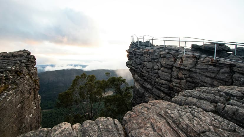
The Pinnacle | 4.2 km from Sundial car park | Lake Bellfield and the town, 500 m below |
Mount Rosea | 8.6 km, strenuous | The Serra Range and the Mount William Range |
Mount William | about 3.5 km on a sealed road | The whole range from the highest point |
Mount Abrupt | 6.5 km, strenuous | The Serra Range north, Dunkeld south |
The Piccaninny | 2.7 km, about an hour | Mount Abrupt and spring wildflowers |
Mount Sturgeon | 7 km, strenuous | Dunkeld and the plains from 582 m |
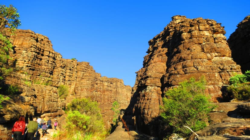
Three tracks lead to the Pinnacle. The Sundial route is the gentle one; the climb from the Wonderland car park squeezes via the Grand Canyon and Silent Street; from Halls Gap itself, on the line of the Peaks Trail, Parks Victoria allows about five hours there and back. Signal Peak shares the Mount Abrupt car park and makes a longer day, 7.8 km return.
If you have one morning, climb the Pinnacle; keep a clear day for Mount Abrupt or Mount Sturgeon if you stay in Dunkeld:
Gorges, Waterfalls and Rock Pools
The gorge and water walks are the shortest in the park, and in 2026 the biggest of them is shut.
Walk | Return walk | Status, 21 October 2026 |
Grand Canyon loop | short and strenuous, from Wonderland car park | Open |
MacKenzie Falls | 260 steps to the base | Closed for works until late 2026 |
Zumsteins to Fish Falls | 1.5 to 2 hours, grade 3 | Open |
Venus Baths | 1.8 km loop, starting in Halls Gap | Open |
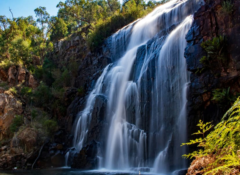
MacKenzie Falls closed on 9 February 2026 for rebuilding, and Parks Victoria expects the work to be done by the end of the year. Until then the car park and every track around the falls are shut, and since May 2026 the base cannot be reached along the river from Zumsteins either.
While MacKenzie is shut, pair the Grand Canyon with Venus Baths for a short day from Halls Gap:
Rock Art in Gariwerd
Parks Victoria says this region is home to "the largest number of significant and ancient Aboriginal rock art paintings and shelters in southern Australia". Five easy-to-reach shelters are open to visitors, behind wire screens at the end of short walks, and one of them is closed for now.
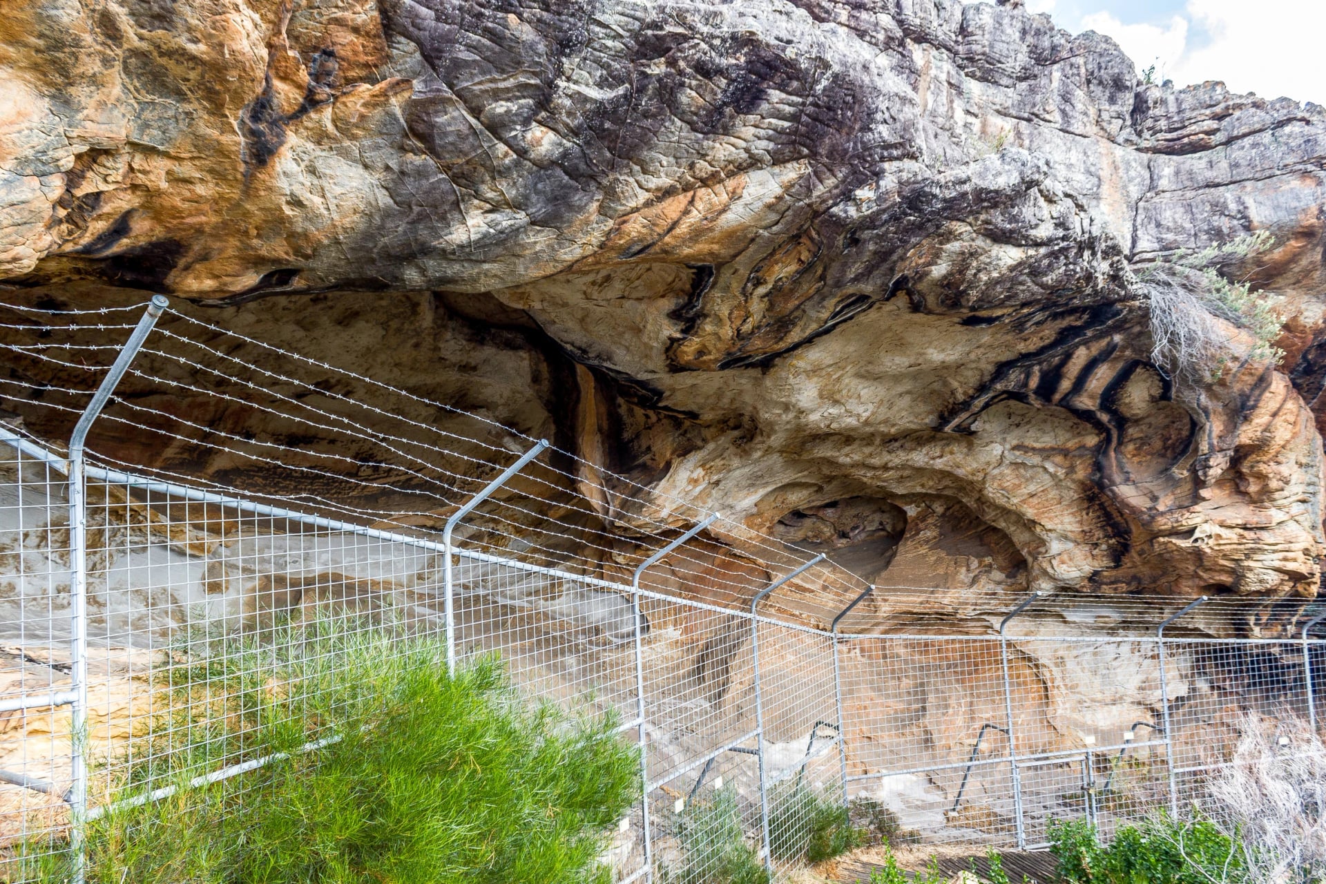
Stay behind the screens and never touch the paintings: the motifs are fragile and still matter to the people whose ancestors made them. For the story behind them, start at Brambuk, the National Park and Cultural Centre, 2 km south of Halls Gap, which shares the cultures of the Jardwadjali and Djab Wurrung peoples. Brambuk's cultural centre is closed for refurbishment, but its information centre and shop are open.
Two of the shelters sit near Hollow Mountain in the north, so plan them into the same day. Tap a pin to see what each shelter holds and how far you walk. The rock-art shelters on the map:
Caves, Ledges and Lookouts
Some of the best Grampians walks end not on a summit but at a hole in the rock or a ledge over a drop, and the lookouts need almost no walking. On 21 October 2026, Parks Victoria listed all three as open.
Walk | Return walk | What you see |
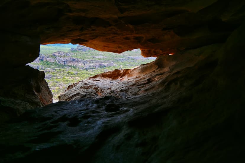
Hollow Mountain | 2.2 km, about 2 hours | Wind-carved caves and the Wimmera plains |
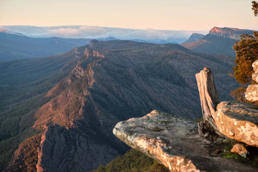
Reed Lookout and the Balconies | 2 km, under an hour | Rock ledges over the Victoria Valley |
Boroka Lookout | a few hundred metres | The town and the lake in the valley below |
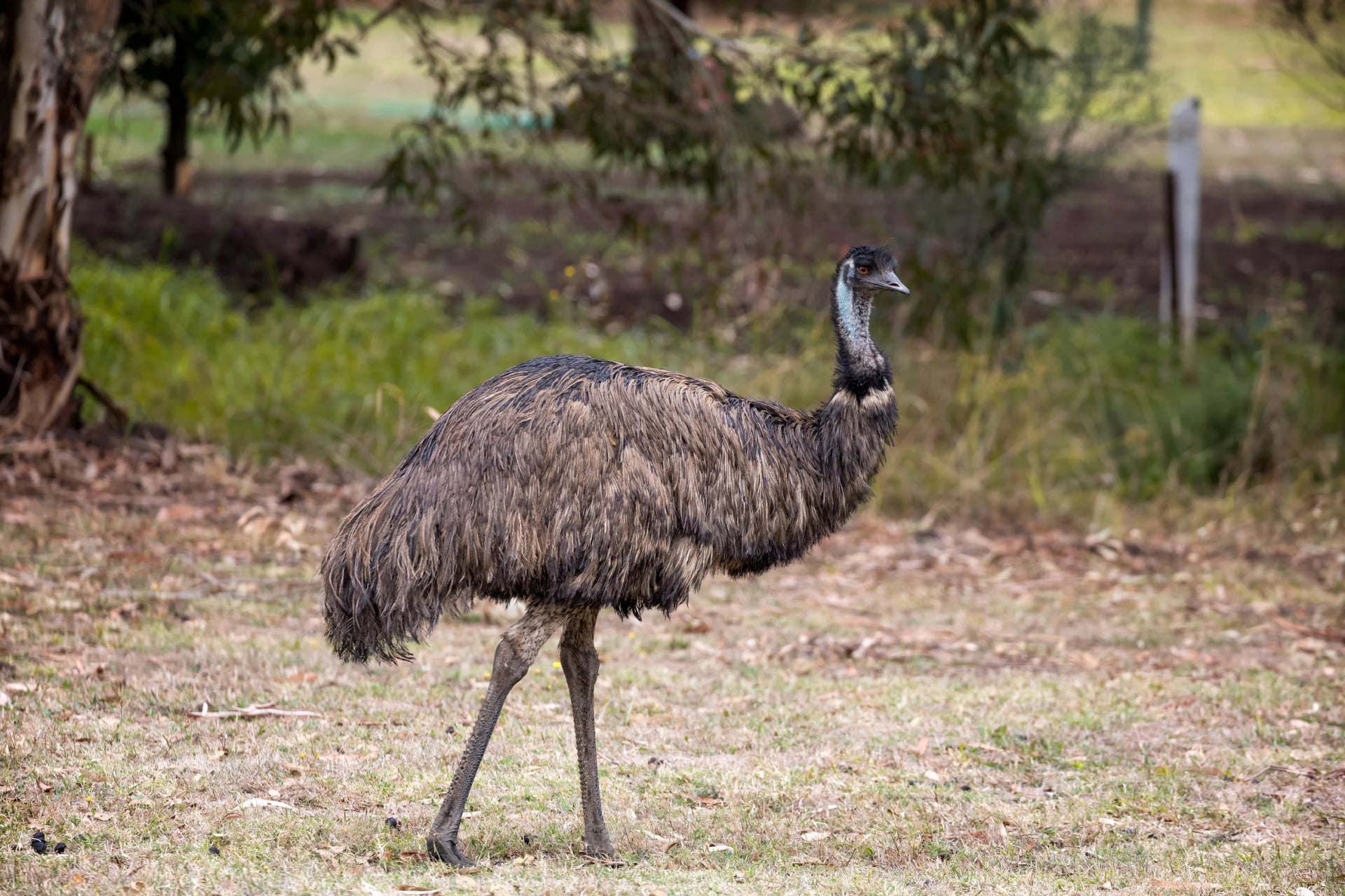
Gulgurn Manja rock art is close to Hollow Mountain, reached on a short track from the same car park. On the drive out to the Balconies, watch the valley floor: Parks Victoria says emus are common in the Victoria Valley, north of Lake Bellfield.
Go to Boroka early, when the sun comes up over Halls Gap, and to the Balconies late in the day for the sunset; keep Hollow Mountain for a dry day, as the top is a scramble:
Halls Gap or Dunkeld?
The park has two walking towns, at opposite ends of the Peaks Trail, and each puts a different set of hikes on your doorstep.
Halls Gap | Dunkeld | |
Where | Halfway down the park, in the valley | At the southern tip, below Mount Sturgeon |
Hikes nearby | Mount Rosea, the Pinnacle, Chatauqua Peak, Venus Baths | Mount Sturgeon, the Piccaninny, Mount Abrupt |
Without a car from Melbourne | V/Line train to Ballarat or Ararat, then the coach via Stawell: about 4 hours, every day | V/Line coach towards Mount Gambier, changing at Ballarat: about 3.5 hours, twice a day |
On the Peaks Trail | Night 4 of 13 | The finish |
Between the two towns: no direct coach, as the two timetables only meet at Ballarat | ||
Trailheads: most have no bus, so plan on a car or a driver | ||
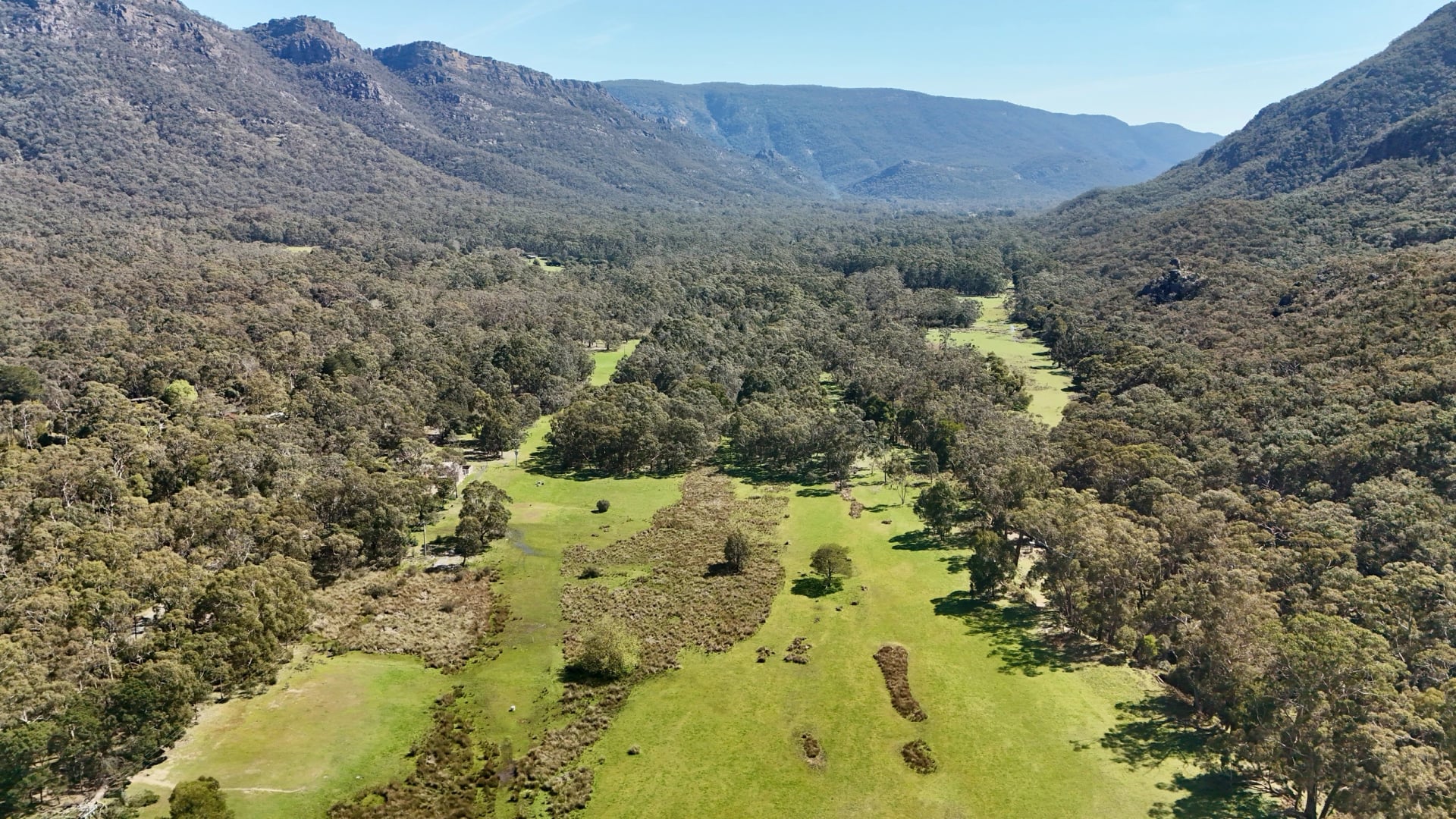
Pick Halls Gap for a first visit. It has the most cafés and beds, the most hikes within reach and the kangaroos on the oval, and the coach from Melbourne stops at its information centre. On weekdays, the morning service from Southern Cross arrives around lunchtime; Tuesdays and Fridays add a later one. Check the current V/Line timetable before you fix dates. Dunkeld suits the southern peaks: a smaller, quieter town with sheep paddocks on its edges and Mount Sturgeon rising straight out of it.
Whichever town you pick, the drive to the trailheads shapes the days more than the climbing does. Dunkeld's peaks are almost an hour from Halls Gap by road, and so are the northern trailheads around Hollow Mountain.
Ask Us About the Grampians
Our agents can match the hikes in this guide to your dates and fitness, book the rooms in Halls Gap and Dunkeld, and set the transfers to each trailhead.
Send us your dates through the inquiry form.
An agent can also walk you through the options on a video call.
Frequently Asked Questions



Plan with a hiking expert
Free advice from a team that knows these routes inside out - real people, not a bot

HASSLE-FREE
We handle itineraries, accommodations, and anything else you prefer not to deal with, so you can enjoy a carefree hike.

BOOK WITH CONFIDENCE
We are a financially protected company, fully bonded and insured, keeping your money safe and allowing you to travel with confidence.

TRIED & TESTED ADVENTURES
We chose these walks for the scenery, then made sure each has a roof every night and needs no hire car.

HELP ON THE WALK
Plans changed, or something not as booked? Ring the support number in your guidebook. For police, fire or ambulance, call 000, even without credit.